South Branch Wedde Creek - WARCS Traditional Geocache
South Branch Wedde Creek - WARCS
-
Difficulty:
-

-
Terrain:
-
Size:  (micro)
Please note Use of geocaching.com services is subject to the terms and conditions
in our disclaimer.
This cache is part of the WARCS (Waushara Area Rivers, Creeks, and Streams) series.
There is not a designated parking area near the cache so use caution when deciding where to park.
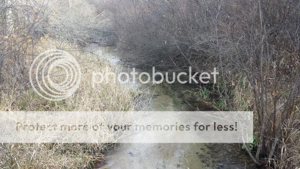 The South Branch Wedde Creek, a major tributary in the Mecan River Fishery Area, meanders 6.51 miles in southwestern Waushara County before merging with the South Branch Wedde Creek right at the Waushara-Marquette County line. The creek is rated as a Class I brown and rainbow trout stream. The Chaffee and Wedde Creeks and the Mecan River are three of only a few streams in the entire state that have naturally reproducing rainbow trout populations.
Please dress appropriately for the various hunting seasons in Wisconsin, as this cache is located on public hunting land.
The Geocache Notification Form has been submitted to the Wautoma Service Center of the Wisconsin DNR. Geocaches placed on Wisconsin Department of Natural Resources managed lands require permission by means of a notification form. Please print out a copy of the notification form, fill in all required information, then submit it to the land manager. The DNR Notification form and land manager information can be obtained here.
Additional Hints
(Decrypt)
Bayl bar nebhaq