A series celebrating the proliferation of Sheep Mountains and other Sheeps of prominance in the Pikes Peak Region.
Make sure to copy the puzzle piece stapled to the log and save it for the Sheep Series: Final.
Either:
Bring a pen and paper and draw the blocks and letters or
Take a picture or
Write down the link URL or
Scan the QR code with your smart phone.
This one is probably on the outer edges of the Pikes Peak Region but we think it's totally worth the drive. We like coming in from Deckers and driving down the canyon. The other way is to come in from Sedalia. Both are a little less than ninety minutes from Colorado Springs. There is probably a flatter approach on some back roads from Conifer but we just parked at the bottom and bushwacked straight up; 1800+ ft in a little over a mile. It took muggleisaiah and I a little under two hours to get up and a little over one hour to get down. There are plenty of other caches in the area so plan extra time.

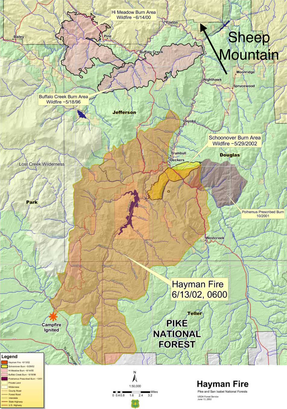
The picture above shows our route the second time trying to avoid the scrub oak by sticking to the ravine at first and then the ridges. It was not entirely successful. From the top you can see from Pikes Peak to Mt. Evans. You can also see the Hayman Fire and Buffalo Creek Fire Burn scars. Those fires burned 137,760 acres and 12,000 acres respectively. I found an article about Buffalo creek Here .
Special thanks to muggleisaiah who came on the hide trip and to THeSKuLL who pointed out a coord typo.
The other Sheep Series caches are Here.
Congrats to hartsdale for being FTF.