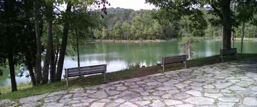
Big Ridge State Park is rooted in history. Archaeological surveys conducted during the Norris Dam project found native settlements dating back to the Mississippian period (1000-1500 AD). When the first European settlers arrived, the area was controlled by the Cherokee. Sharp's Station, one of the first fort's built west of the Appalachians is located within the park's boundaries. The conflicts between those early settlers and the native peoples is written in stone, here on the Indian Loop Trail, with the memorial plaque for Peter Graves. It was up on Big Ridge in 1794 that Peter Graves was lured into an ambush by a group of Cherokee. A month later there would be an attack on Sharp's Station. The park was created by the TVA during the Norris Dam Project, which flooded the local town of Loyston, and created the giant lake whose shores you will walk along.
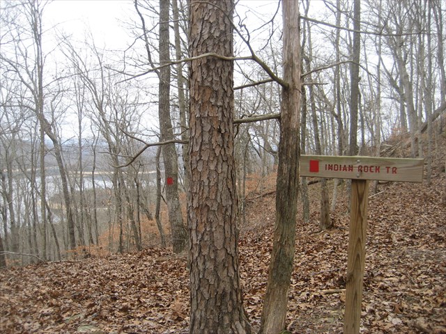
The 2.3 mile Indian Rock Loop trail is the furthest from amenities and also the most difficult to access by foot. Stop by the Ranger Station to pick up a map of the park's trails and ask for trail conditions.The trail can be accessed a number of ways, all of which add miles to your hiking day. You will want extra time to explore the historical locations along the trail as well as make a visit to Sharp's Station off a short spur-trail. Bring plenty of water and food, plan for weather, and make sure you are comfortable with the local flora and fauna. This trail can be seasonally overgrown and trail-finding can be difficult. Keep an eye out for trail blazes and use your GPSr wisely by making wayponts along your route. At the first 5 stages of this multi cache, you are looking for green-painted preform tubes, which contain coordinates for the next stages. The final is a green painted large polyethylene jar. The stages are located at notable features along the hike, and within 15ft of the trail. If you enjoy long hikes deep into the forest, with a little history sprinkled in, than this hike is for you.
