For the time being both stage 1 and stage 2 are being repaired but this could take some time. If you would like to do the remaining 3 stages of this cache in the mean time then use this image of what stage 2 SHOULD look like to figure out the coords for stage 3 and things are good from there ... have fun
Description
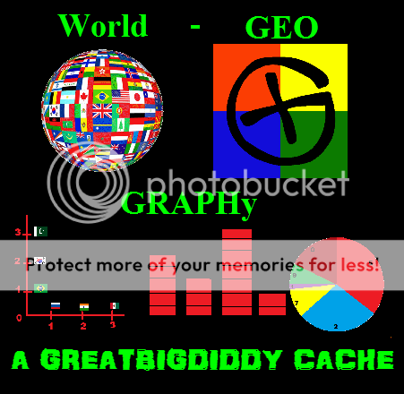
This Multi is located in the area surrounding the naturally gorgeous Egerts Park in the beautifully established community of North Haven. It is made up of 5 very unique and fun stages that follow the theme of Graphs and Geography. Some of my more recent Multis have been very spread out, for this one I wanted to return to something where the stages are a little tighter together. You could do this easily in a car but it would be perfect for a bicycle or you could also make it a nice little walk.
How it works
Please note although this cache page makes this cache look a little complex, in reality it is very simple and a lot of fun. The stages do not involve difficult field puzzles. They do use original and fun ways to do simple coordinate substitutions.
Stage 1
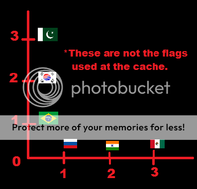
Axis Graphing - Flag Identification
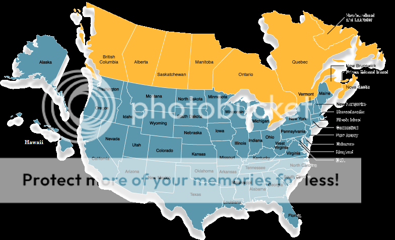
At stage 1 you will find an Axis Graph that you will use to get the coordinates for the next stage. The well known flags of 12 different countries will be on the Axis Graph (6 on each axis). Each flag will have a numeric value represented by it’s position on the graph. You will use these numbers to fill in the missing coordinates for stage 2.
The coordinates for stage 2 are: N 51° 06.ABC W 114° 04.DEF
A = Canada Minus USA
B = UK Plus Japan
C = Germany Times Sweden
D = Denmark Plus Australia
E = France Times China
F = Finland Minus Italy
Example:
Stage 2
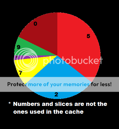
Pie Graphing - Continental Populations
At stage 2 you will find a Pie Chart that you will use to get the coordinates for the next stage. The 6 continents (excluding Antarctica) will be represented on the Pie Chart according to their world population percentage. Each slice of the pie will represent one of the continents and will have a number on it that will be one of the missing digits from the coordinates for stage 3. You will use the information below to figure out which piece of the pie represents which continent.
The coordinates for stage 3 are: N 51° 06.ABC W 114° 04.DEF
World population by continent (Alphabetical order)
A = Africa ………….. 1,030,400,000
B = Asia …………… ..4,157,300,000
C = Australia ………..…..36,700,000
D = Europe …………… 738,600,000
E = North America …… 461,114,000
F = South America …… 390,700,000
Example:
Stage 3
Maps & Borders
At Stage 3 you will find a map. You will use the information on the map to solve a simple math equation. To get your coordinates for stage 4 you will take the following set of coordinates and subtract your answer from the last 3 digits of the Northing and add it to the last 3 digits of the Westing to get the actual coordinates of stage 4.
The coordinates are N 51° 06.957 W 114° 04.392 (these are the coords you will add and subtract from to get the actual coords for stage 4)
Example:
Stage 4
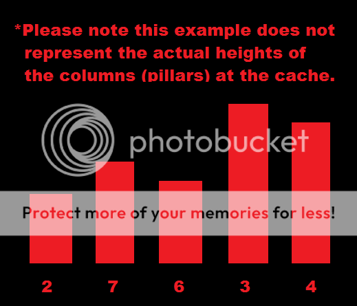
Bar Graphing - World Land Masses
At stage 4 you will find a Bar Graph that you will use to get the coordinates to the final stage. This is a virtual stage and the bars on the graph will be represented by wooden pillars of varying heights found near ground zero. At ground zero we will assign the first 5 wooden pillars to the right of the gate these digits 2,7,6,3,4 (From left to right) each pillar will represent one of the 5 largest countries in the world (the larger the country the taller the pillar). You will use the information below to figure out which pillar represents which country. Once you have done that you can substitute each countries digit into the coordinates for the final stage.
The coordinates for the final are: N 51° 06.ABC W 114° 04.9DE
Top 5 countries by size in square km
A = Russia............... 17,098,242
B = Canada............... 9,984,670
C = China.................. 9,706,961
D = USA...................... 9,629,091
E = Brazil................... 8,514,877
Example:
Stage 5 (Final)
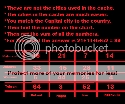
Grid Graphing - World Capitals
At the Final you will find a Grid Chart that you will use to get the combination to a locked logbook. The Chart will display some of the most famous countries and capital cities in the world. You will use the chart to determin the number that corresponds to each city then you must find the sum of those numbers to figure out the lock combination so you can open the logbook and sign your name and officially claim your find.
Example:
GOOD LUCK & HAVE FUN