"Geocaching was conceived shortly after the removal of Selective Availability from the Global Positioning System on May 2, 2000, because the improved accuracy of the system allowed for a small container to be specifically placed and located. The first documented placement of a GPS-located cache took place on May 3, 2000, by Dave Ulmer of Beavercreek, Oregon. The location was posted online.
By May 6, 2000, it had been found twice and logged once (by Mike Teague of Vancouver, Washington). According to Dave Ulmer's message, this cache was a black plastic bucket that was partially buried and contained software, videos, books, food, money, and a slingshot. A geocache and plaque called the Original Stash Tribute Plaque now sits at the site. The activity was originally referred to as GPS stash hunt or gpsstashing. This was changed shortly after the original hide when it was suggested in the gpsstash eGroup that "stash" could have negative connotations and the term geocaching was adopted". (from Wikipedia)
Well that's the official version of how the concept of geocaching first started. But was the idea of hiding small containers with hidden treasures and a logbook, and locating them with a GPS device an American invention? Maybe not. In 1991 the Gulf War in Iraq required the use of handheld GPS devices for troops to locate their position in the featureless desert. After the war ended, very early Magellan GPS devices became available for public use here in New Zealand. These large chunky devices cost the princely sum of $2000 each back in 1992. The Department of Conservation (DOC) purchased a small number of these devices and I was tasked with field testing them in 1992. On the mist covered Chatham Islands, even with GPS accuracy seldom better than 20m they were still superior for back country navigation compared with map and compass when visibility was less than 50m. Between 1993 and 1995 we ran a series of training workshops to teach DOC staff how to use a range of new technology. Included in these training courses was a session on using handheld GPS devices. To make it fun to learn, we hid a number of plastic icecream containers out in field with a raffle book to log visits. Each container also had a few treasures (chocolate bars) to reward those who found them. A hint was needed to help locate these "caches" due to low GPS accuracy. Teams finding the "caches" removed a raffle page and signed the stub. It was in effect "geocaching" before the name was coined.
So like the first powered flight by New Zealand aviation pioneer Richard Pearse who reputedly flew his plane nine months before the Wright brothers flight in 1903, did New Zealand invent the concept of "geocaching" using GPS devices to locate hidden containers and sign logs? You be the judge...
Geocaching and using GPS devices in the 1990s was not easy due to selective availability issues. Typically accuracy was around 20-30m but could blow out to 200m at times. To get you back into the spirit of the times this cache is set up at a similar level of accuracy. Your mission is to find the very large container hidden in Wilton Bush and sign the log. A taste of how we did "geocaching" in the early 1990's is inside the container.
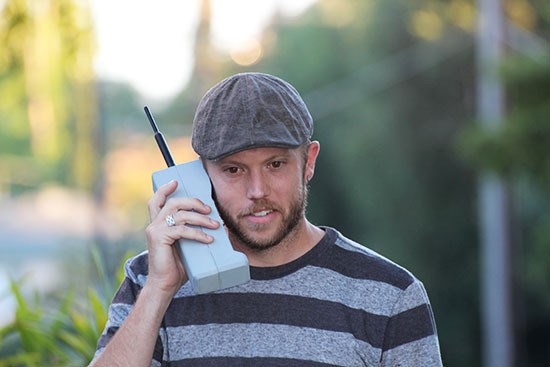 Gadgets were chunky back in the 1990s. Fancy a cellphone? (image from www.huffingtonpost.com)
.
The mystery cache is about 20m from the posted coordinates. Go to a sharp bend on the track and start looking. The cache is also 205m from the Flax playground cache (GC2287G) and 597m from" Barndance" cache (GC2K1HH). Good luck.