Go back in time, oh, about 200 million years ago. The site you are now standing at would look a little different. In fact, I hope you can swim, because some believe that everything east of the Appalachian Mountains was a shallow sea about 50-300 feet deep. Lush, dense fern forests covered the shallowest waters and any area above water. These ferns produced abundant cones and seeds which supported a wide variety of plant eating reptiles and amphibians. It is estimated that at that time, the Appalachian Mountains were as high as Mount Everest.
But 200 million years can take a toll on mountains. All the weathering and erosion washed the sediments towards the newly formed Atlantic Ocean. Seed pods, leaves, and branches got water-logged and sank to the bottom of the shallow sea. The clay and silt buried anything that sank. Over time, pressure caused the silt and clay to form a solid layer. Fossil layers form when the water level rises, but do not form when the water level falls. Scientists estimate the water levels would change every 50,000 years.
Your task: Examine this slab. Estimate the size - it's height, width and length. Next, look at each side of the slab to find the best evidence of the layering. Estimate the thickness of each layer. Count the number of layers. Estimate how long it took to form this slab by multiplying the number of layers by 50,000 years. Find evidence of any fossils. Look at the two examples on this page (from the actual slab) to make your best guess as to what type of fossils were preserved. Email your answers to me either through a geocaching.com message or at 3newsomes@gmail.com.
|
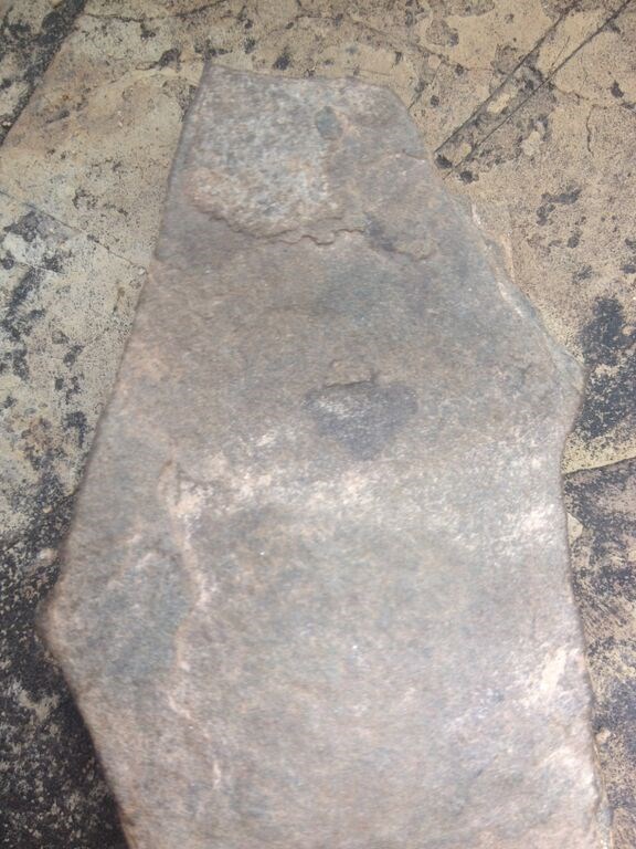
Image 1: Leaf Impression
|
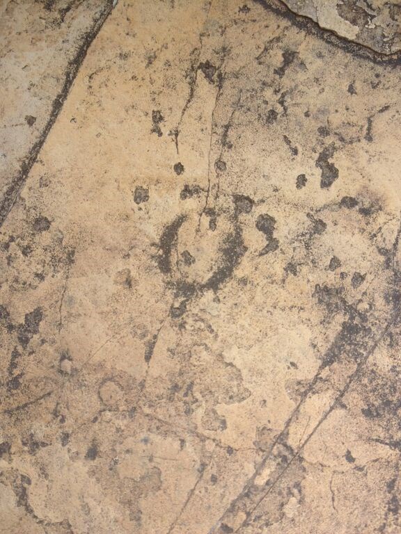
Image 2: Seed Pod Impression
|
A special thanks to Platinum Earthcache Master markcase for his help in making this Earthcache a reality!