GPS is a little tricky in this area, and as the challenge is more in obtaining this cache than finding it, I have included a couple of waypoints. There are several ways you could reach the cache, but this is probably best:
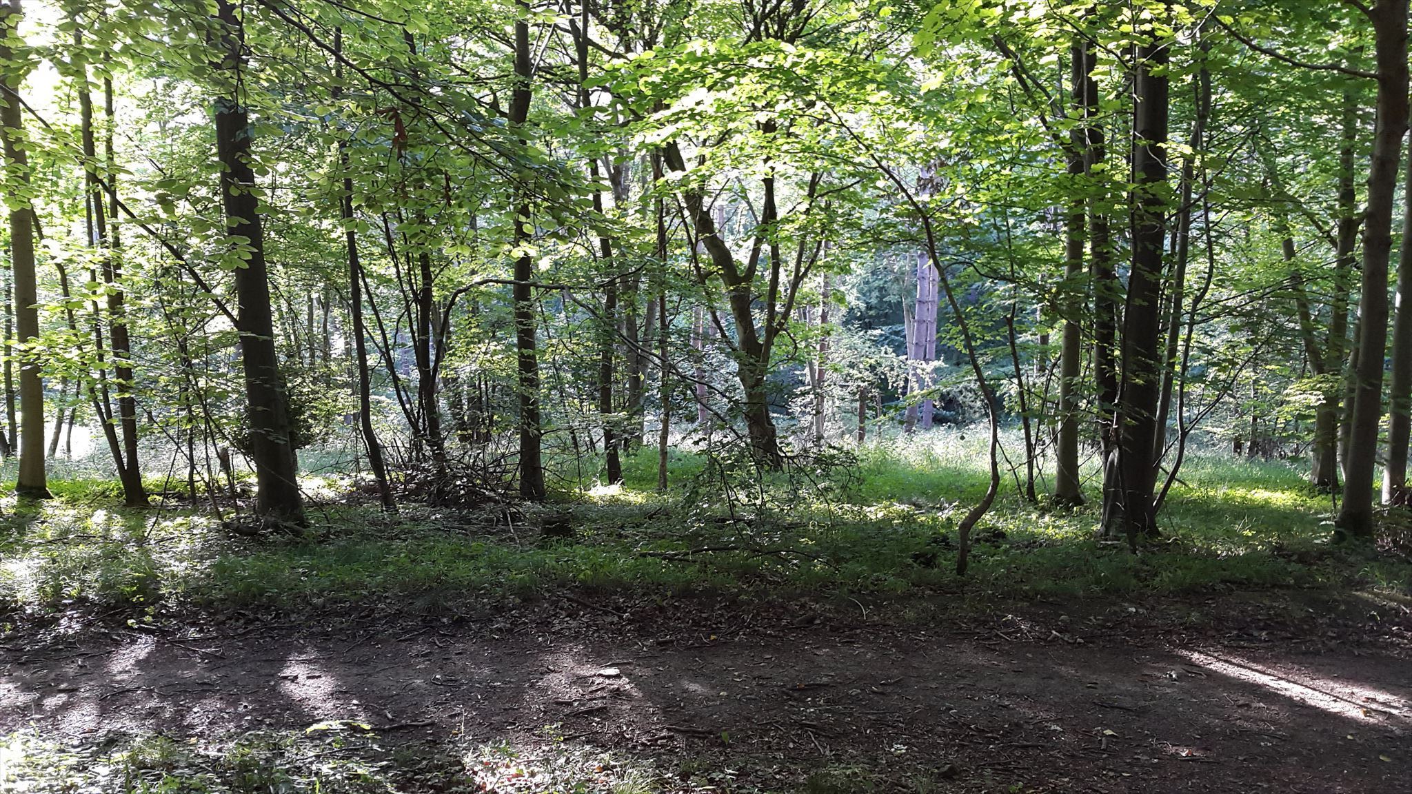
A public footpath begins at N 51° 41.120 W 000° 37.275 - this leads onto a field, with a clear path to follow into the woods. Keep heading forwards, eventually you'll reach a T junction at N 51° 41.111 W 000° 37.915, marked out by a nearby Forestry Commission 'Working Together' sign. Turn left at this junction onto the wide main path, and keep following it around. Eventually you'll reach the cache.
The tree in question should be obvious - it's the only one that's climbable! If you look carefully you will be able to spot the cache from the ground, at which point you can decide on your strategy - or leave it if you prefer. You've still had a nice walk. There are other caches in the area that you might want to try, including the nearby, less challenging tree climb, Jackdaw (GC6NRDA).
This is in a Forestry Commission area of woodland, and they ask for the disclaimer below to be included in the cache description. Additionally, I will make my own plea that you respect the woodland - tree climbing is a wonderful hobby and an excellent way to interact with nature, but it should be part of a mutual relationship with the environment.
The landowner (Forestry Commission East England) does not assess the suitability or safety of the cache location. The cache placer and the cache finder have a responsibility to take reasonable precautions to protect their own safety and the safety of others. Hazards observed at or on route to the cache location should be reported to the cache placer.
Congratulations to mbtkz for the FTF, and credit and thanks to 01582, Smokeypugs, opulsford and mjcross for their support and feedback that helped to establish this cache.