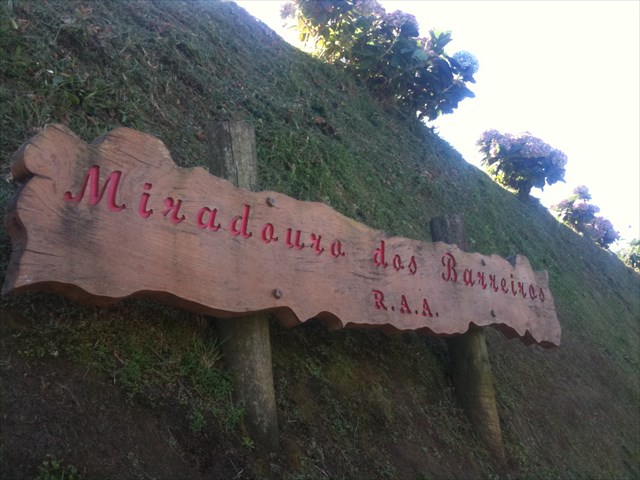
MIRADOURO DOS BARREIROS
MAIA
PORTUGUÊS

Parque de Merendas dos Barreiros
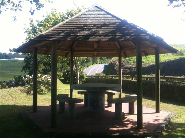
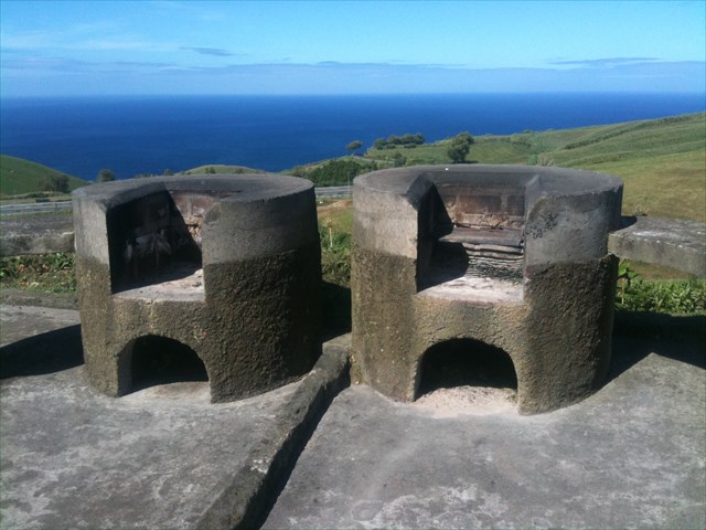
Localiza-se na estrada regional na zona dos Barreiros. É um local bastante agradável, dispondo de palheiros, mesas, grelhadores e bancos em pedra.
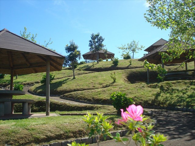
Maia é uma freguesia rural açoriana do concelho da Ribeira Grande, com 21,97 km² de área e cerca de 2 000 habitantes, o que corresponde a uma densidade populacional de 86,5 hab/km². A localidade localiza-se na costa norte da ilha de São Miguel, entre as freguesias de São Brás, a ocidente, da Lomba da Maia, a nascente, e os concelhos de Vila Franca do Campo e Povoação, a sul. A Maia é uma das freguesias que constituem o concelho da Ribeira Grande tendo como origem da sua toponímia o nome da sua fundadora, uma matrona de nome Inês da Maia, ao que tudo indica oriunda da povoação homónima do norte de Portugal.
O território da freguesia inclui a fajã vulcânica, formada há cerca de 10 000 anos, onde se localiza o lugar da Maia, sede da freguesia.
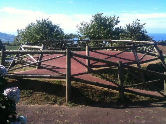

A CACHE:
A cache tem um formato não convencional.
No GZ seja discreto!
Não coloque, por favor, no seu registo, fotos da cache, nem do GZ.

“Barreiros” Picnic Park
MAIA
ENGLISH

“Barreiros” Picnic Park
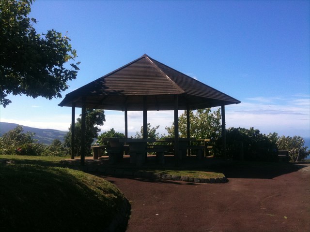
It is located on the regional road in the area of Barreiros. It's a pretty nice place, having haystacks, tables, grills and benches in stone.

“Maia” is an Azorean rural parish in the district of “Ribeira Grande”, with 21.97 km² and about 2000 inhabitants, which corresponds to a population density of 86.5 inhabitants/km². The town is located on the north coast of the island of São Miguel, between the parishes of Saint Blaise in the west of Lomba da Maia, the source, and the municipalities of “Vila Franca do Campo” and “Povoação” to the south. The “Maia” is one of the parishes that make up the municipality of “Ribeira Grande” output from its place names the name of its founder, one Agnes name Matron Maia, it seems coming from the homonymous village in northern Portugal.
The territory of the parish includes the volcanic fajã, formed about 10,000 years, where is the place of “Maia”, parish headquarters.
THE CACHE:
The cache has an unconventional shape.
On GZ be discreet!
Do not place, please do not register, the cache photos, or the GZ.
