Welcome to
Stevensons Falls - EarthCache
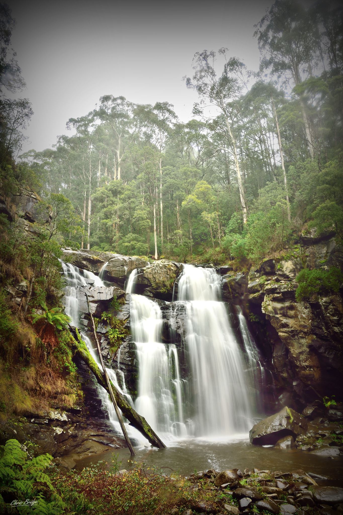
Located along the Gellibrand River, Stevensons Falls is a popular waterfall and geological feature that is located in the Otways in the Upper Gellibrand region.

Waterfalls are commonly formed in the upper course of the river. At these times the channel is often narrow and deep. When the river courses over resistant bedrock, erosion happens slowly, while downstream the erosion occurs more rapidly. As the watercourse increases its velocity at the edge of the waterfall, it plucks material from the riverbed. Whirlpools created in the turbulence as well as sand and stones carried by the watercourse increase the erosion capacity. This causes the waterfall to carve deeper into the bed and to recede upstream. Often over time, the waterfall will recede back to form a canyon or gorge downstream as it recedes upstream, and it will carve deeper into the ridge above it.
Often, the rock stratum just below the more resistant shelf will be of a softer type, meaning that undercutting due to splashback will occur here to form a shallow cave-like formation known as a rock shelter under and behind the waterfall. Eventually, the outcropping, more resistant cap rock will collapse under pressure to add blocks of rock to the base of the waterfall. These blocks of rock are then broken down into smaller boulders by attrition as they collide with each other, and they also erode the base of the waterfall by abrasion, creating a deep plunge pool or gorge.

Streams become wider and shallower just above waterfalls due to flowing over the rock shelf, and there is usually a deep area just below the waterfall because of the kinetic energy of the water hitting the bottom. Waterfalls normally form in a rocky area due to erosion. After a long period of being fully formed, the water falling off the ledge will retreat, causing a horizontal pit parallel to the waterfall wall. Eventually, as the pit grows deeper, the waterfall collapses to be replaced by a steeply sloping stretch of river bed.
source: "Wikipedia"
 Questions to log this EarthCache
Q1 Looking carefully around the area of these falls, you can see how this process has shaped this area. List four things evident that you can see of this process.
Q2 You can also notice a lot of a natural phenomenon called Rock-cut basins. In your own words, how have these been formed here?
Q3 Estimate the height of the falls and the cliffface next to the lookout.
Hope you enjoyed this EarthCache & please feel free to upload a photo too 
Please send your answers to
"  "
"
through Message Center or through email.
Please feel free to log this cache once you've completed the EarthCache requirements while waiting for a response to your answers.
You will need to send me your answers to verify your find for this EarthCache and will most likely hear from me within 24 hours or if in the unlikely event, a correction or more detail is needed