High Salvington Windmill is a black post mill, the last remaining of an original 8 or 9 mills in the Worthing area. She stands 320ft (98m) above sea level, commanding a view south over Worthing and to the sea. This Mill was probably built around 1750, although Budgen's map of 1724 did show a mill on this site. A previous mill existed on this site in 1615. The oak post on which the mill rotates is 21ft 6in (6.6m) high. The foot of the post is actually several inches clear of the ground, the colossal weight of the mill being taken through the diagonal quarter-bars and on to the horizontal cross-trees of the trestle.
The mill worked for nearly 150 years until windmills became virtually obsolete due to the increased use of steam power. It was closed in 1897. Ten years later, the old timber roundhouse was replaced with a concrete structure; this was used as a tea room into the 1950's. In 1959, the mill was purchased by Worthing Borough Council for £2,250. Edwin Hole, Millwrights, of Burgess Hill, undertook restoration work in the early 1960's replacing a lot of the heavy timberwork in the main body of the mill.
In 1976, a gale caused substantial damage to the mill, and a subsequent inspection found even more causes for concern. As a result, the High Salvington Mill Trust was set up and with help from the Friends of the MIll, over the next 30 years the mill was completely restored. The hurricane of 1987 gave the mill its first taste of renewed life: the forceful wind turned the sails for the first time, even though the brake was on! The original style of roundhouse, known from old photographs, was reinstated in 1990 and the mill restarted grinding on 4th April 1991. The mill site now has an old granary, rescued from Kingscote and restored by the volunteers. It is open to the Public at specific times around the year – details of which may be found online.
To find the cache, visit the published co-ordinates and look at the sign for the windmill.
A = Number for the month of National Mills Day
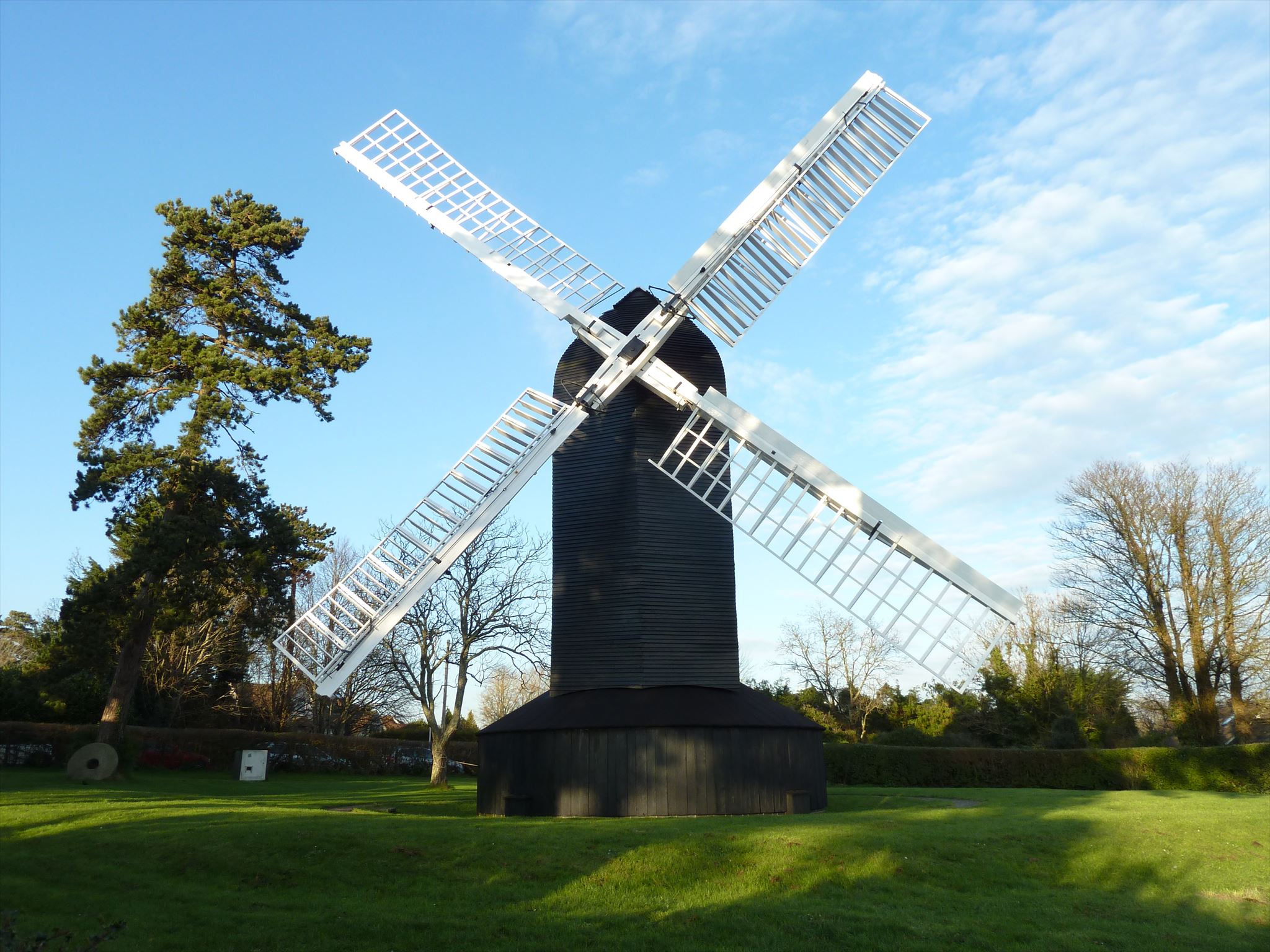
B = Number of sails visible in the picture on the left
C = Number of doors visible in the picture on the left
The cache is a bison tube that can be found at N50° 50.(A+B)(A-B-C)(A+C) W0° 24.(2B-A)(2C+A)(B-C)
Please note that the terrain rating is set for the most obvious and direct route from the windmill to the cache, it is possible to take a much longer way around and use paved roads/paths all the way. Either way, there are elevation changes.