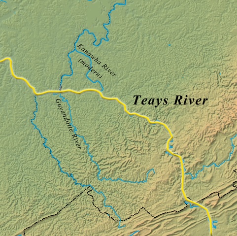
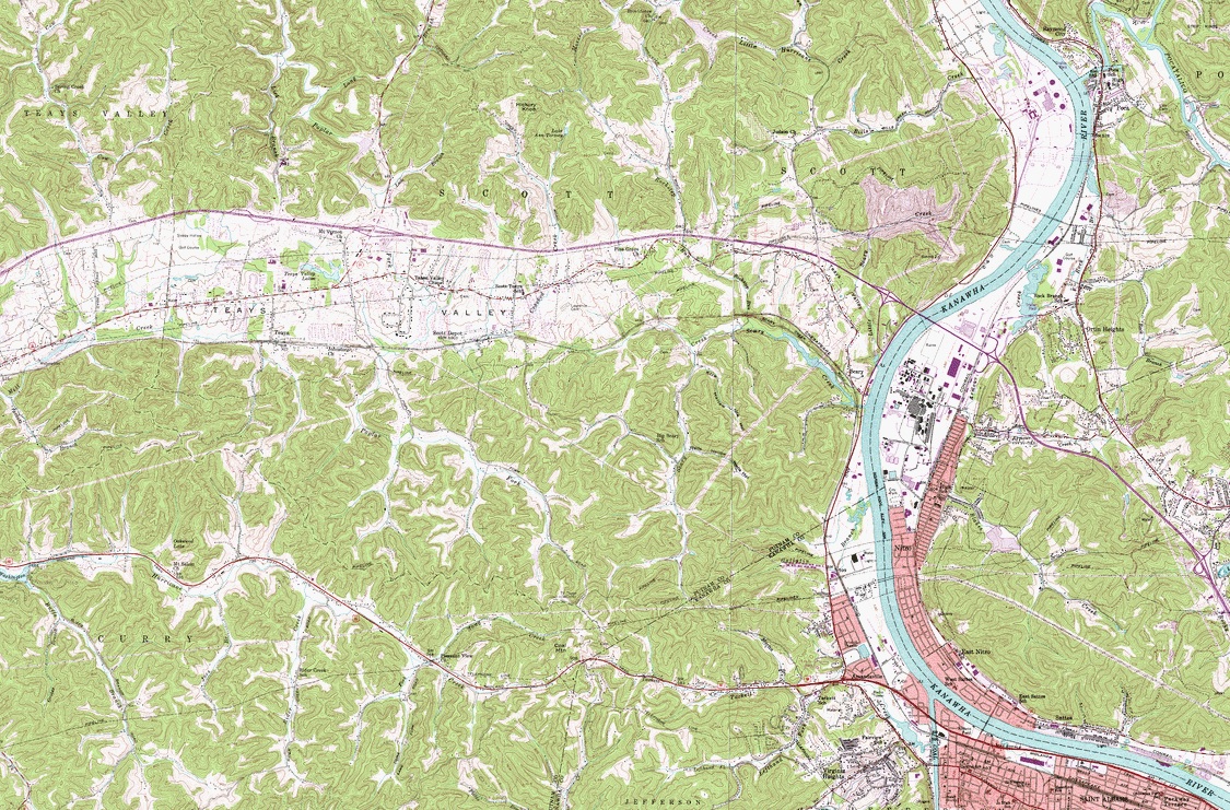
The New River, Gauley River, and Upper Kanawha River follow the path of the ancient Teays River to this very spot. Here, the river turned due west toward present day Huntington creating a mile wide valley. Now, however, the Kanawha River continues northwest toward Point Pleasant. Why did the path of the river change?
ICE AGE
Although the glaciers of the Ice Age never reached as far south as right here in Nitro and Scary, WV, they had a dramatic impact on the local landscape and the Teays River. About 800,000 years ago, glaciers that reached as far south as Chillicothe, OH created an ice dam on the Teays River. The water from the dammed River created Tight Lake.
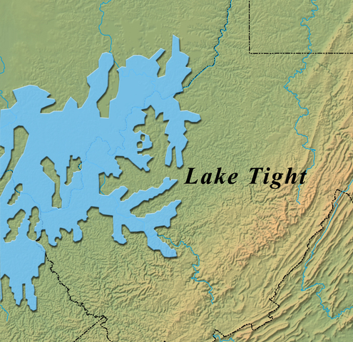
The river rose over time as the lake bottom filled with sediment. The overflow from the lake found its way to lower elevation valleys and created new rivers and outlets. The lower Kanawha River was one of the new outlets it created. When the glaciers retreated and Tight Lake drained, the former path of the Teays River was at a higher elevation due to the silt that had accumulated in the bottom of the lake. (In some places, 100 feet of silt had filled in the valley.) The former path of the Teays River was abandoned leaving the unusually flat valley we see today in an otherwise mountainous region.

Logging Requirements
To claim this EarthCache, answer the following questions.
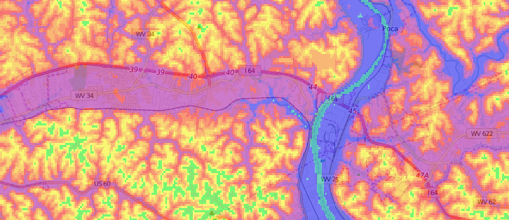
1. The mountains on either side of the valley range in height from roughly 850 - 1000 feet in elevation. The Teays Valley going from here to Huntington, has an average elevation of roughly 650 feet. Take an elevation reading at your current location. The river level varies throughout the year based on rainfall, but assume the river is 20 feet less than the elevation you are reading. How do these various elevations support the information you have read regarding the location of the Teays River and Tight Lake?
2. Based on what you've read here and by looking at a map, why do you think the existing route for Interstate-64 from St. Albans to Huntington was chosen?
Answers should be sent via the geocaching.com messaging tool.