For many years the alluvial deposits in Ballarat Proper have been exhausted, and the bulk of gold won in the Central Division has been quartz gold. This was foreseen in 1870, when the first edition of this History appeared; but a great revival of alluvial mining began in the Creswick Division in the early seventies.
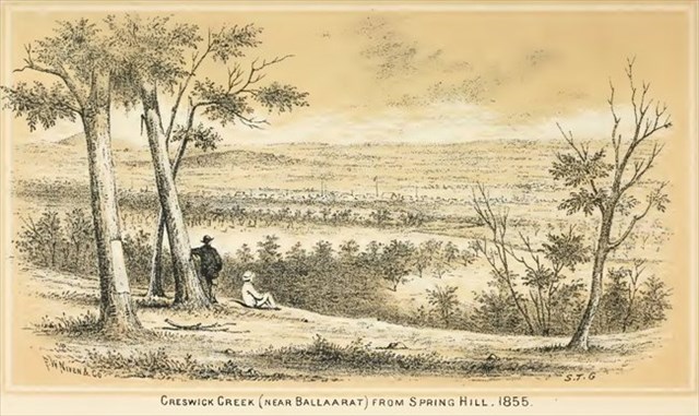
In May 1872, Carter, Brawn and Graham discovered rich gold on Spring Hill. The discovery at Broomfield Gully caused a rush which lead to three distinct leads being found at Lewers Lead, Reserve Lead and Spring Hill Lead.
This was caused by the success of Graham, Brawn, and others at Broomfield Gully, in shallow ground. Their success led to the starting of the Lewer's Freehold Company on the 22nd July, 1872, the first party comprising Messrs. W.P. Jones, S. Fyson, H. Gore, T. Rossell, W. Curten, E. and G. Daws, Rev. J. Wagg, W.J. Gillard, R. Henden, J. Riordan, J.M. Davies, G. Westcott, Alex. Stewart, W. Saville, and Alex. Rogers. The first washing was on the 8th April, 1873, when 28 oz. of gold were obtained. This led to a great rush; the shallow ground was traced till the famous De Murska, Ristori, Lone Hand, and Madame Berry gutters were discovered, and nearly the whole of the country between Creswick and the Loddon taken up for mining. The rich deposits and the deep ground recalled the old days of Ballarat itself, and the locality is now the only largely productive alluvial field in Victoria.
Use information from the monument's main inscription and smaller plague to derive the final coordinates of this cache placed nearby. Please leave the golden nuggett in the geocache container for all to touch and revel in that sense of discovery. The original location for GZ was the bridge across the road. Due to its collapse the cache was removed from its resting place and relocated for OHS reasons.
Final coordinates can be located at: S 37 23.ABC E 143 54.XYZ
A = The number of times the sequence GOLD appears in the inscription.
B = The difference in the 2 digits the day gold was discovered in 1872.
C = The number of the day that JA Graham presented the monument
X = The month the monument was presented plus three
Y = The degrees east from here rich gold was discovered minus 10
Z = The yards north from here rich gold was discovered minus 110