
Before the 1930s, if you wanted to travel from Mesa to Payson, would drive the Apache Trail from Mesa to Roosevelt Lake, cross the dam, and travel up the “Globe Road” (now AZ 188) to Payson. It was slow going and could take up to 12 hours depending on weather and road conditions. Your only other option, and not a very good one, was to drive to Fort McDowell and take the “Reno Road” to Sunflower, where it turned east over the Mazatzal Mountains and reached Camp Reno, near what is now Punkin Center, and then turn north to Payson. Both roads were narrow and rocky and subject to washouts after heavy rain, and parts of the Reno Road, originally a wagon trail, were very steep, and littered with broken wagons and their erstwhile contents.
In the 1920s, Harvey Granville Bush - a man who owned a lumber business in Mesa, and a vacation cabin near Tonto Fish Hatchery – led a group of business leaders in lobbying the Maricopa County Board of Supervisors to build a road from the north end of Power Road in Mesa to the Reno Road which led to Sunflower and from there build a road directly into the Payson Basin, ending near Jake’s Corner. In 1932, plans were drawn up, and construction began. The “highway” was completed in May 1934, and was named “Bush Highway” after Harvey Granville Bush. It was not much of a highway by today’s standards – 1 ½ lanes wide, and a dusty dirt surface, but it was graded nicely, and cut the distance from Mesa to Payson by 25 miles.
The Bush Highway was the main route from the Valley to Payson for over 20 years, when construction of the Beeline Highway began in the mid-1950s. The Beeline Highway was initially constructed as a paved 2-lane highway, and over the years has been widened to 4 lanes, and during widening has been moved in places from its original alignment.
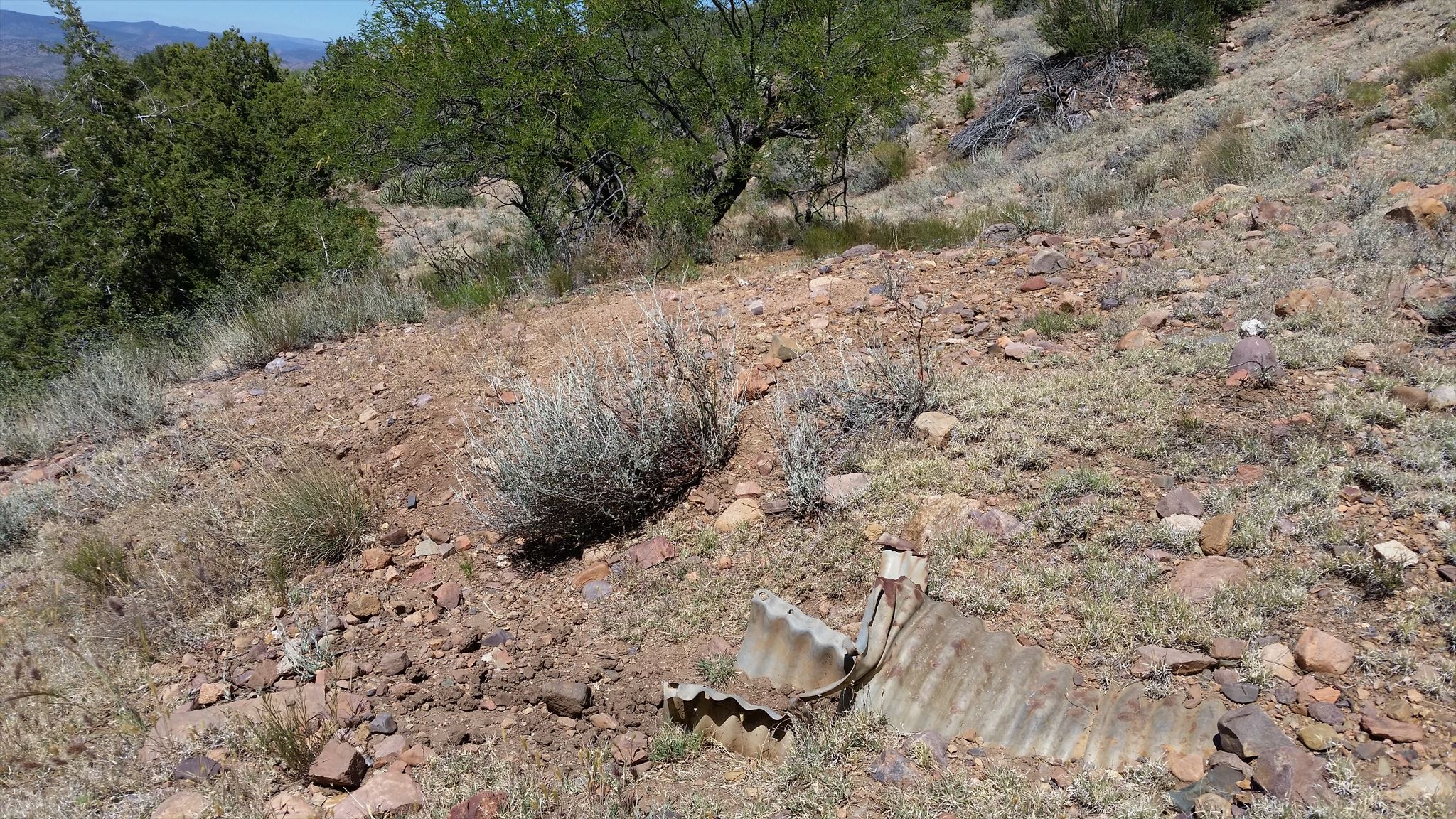
There was never any effort to erase the existing segments of Bush Highway during construction of the Beeline Highway, and all sections of the old highway which were not obliterated by coinciding with today’s Beeline Highway alignment still exist – either as Forest Roads, or as barely accessible graded pathways. This series of geocaches takes you to most of the existing sections of the old “highway” where you will either drive them (where possible), or walk them, sometimes both!
As you travel the Old Bush Highway, on foot or by car, imagine how much longer and difficult the journey from Payson to Mesa was than today’s hour and a half scenic breeze.
Particulars for this cache
You will be parking at the end of a road cut. Prior to the building of the Beeline Highway, the Old Bush Hwy crossed the new Beeline Hwy, and traversed a slope that no longer exists
Climb the steep hill to the road grade that leads to stage 1 which is on the former Bush Hwy Scramble under the barbed wire fence, and follow the old grade to stage 1. From there, the road grade will lead you to the final. The bushwhacking should be easy, but there are a couple of washouts of the old highway you will have to cross.