Toketee Falls is one of the most well-known waterfalls in Oregon. It flows over and is framed by a flow of columnar basalt. The basalt is a result of a lava flow. The North Umpqua River has carved a path out of this same lava flow.
Columnar Basalt
This type of basalt formation results from cooling of lava. The “columns” are actually fractures and their width and length depend on how fast or slow the lava cooled. Hot objects tend to expand, while cooler objects contract. When objects contract, they often crack or fracture. When contraction occurs at centers which are equally spaced (see the diagram below), then a hexagonal fracture pattern will develop.

COLUMNAR BASALT QUESTIONS:
How many feet on either side of the main waterfall tier do you observe the columnar basalt? What color is it?
Approximately how wide is an average column?
Erosion
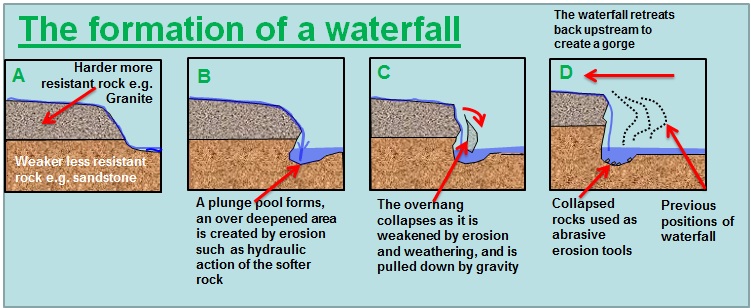
In earth science, erosion is the action of surface processes (such as water flow or wind) that remove soil, rock, or dissolved material from one location on the Earth's crust, then transport it away to another location. Water is the most erosive force on Earth. Water finds the easiest path, and in this case, it was straight down. The waterfall consists of two tiers, the upper tier being 28 feet, followed by a plunging 85 foot lower tier.
At the trailhead, the wooden 12 foot diameter Toketee Pipeline is passed, which diverts much of the volume of the North Umpqua River to a powerhouse downstream. This artificial taming of the river allows the waterfall to flow in an extremely consistent manner all year long.
EROSION QUESTIONS:
Do you think the divets in the columnar basalt provided a weak spot for the water to erode more quickly than other spots? Or maybe they made no difference because there were so many weak spots from the columnar basalt?
How much quicker would the surrounding area erode if the Toketee Pipeline were not in existence? Would it erode faster? Slower? Stay the same? Consider that the pipeline allows for a constant flow, and without it, the water may flow faster in the winter but also much slower in the summer.