Please call Mr. Gerrit Nel in advance on 028-5611628 to get permission for crossing over his farm to the start of the route. With a diff-lock bakkie or 4x4 SUV one can drive up a steep track to gain some height and cut out 30 minutes hiking before parking your vehicle. If you're driving a sedan you can park at the start of this steep section.
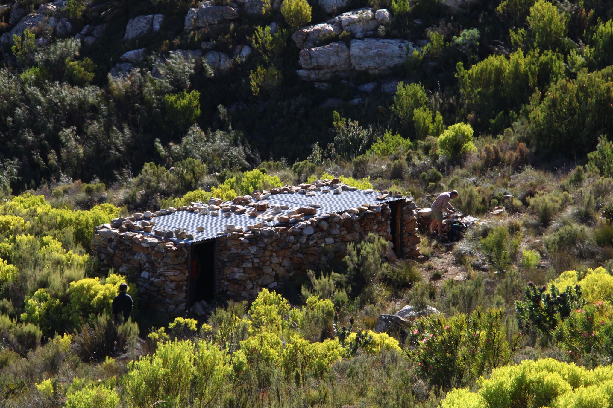
This is not an easy path to follow. It is best to save yourself some waypoints, or hike the route with someone who have been there before. The trail is faint, and easily lost in some sections. From the parking, there is a path that contours up the hill. It is somewhat taxing, as there is these camel humps in the road, probably to stop water erosion, that has to be step over. Once this section is finished, the more difficult section starts, as this part is somewhat overgrown. Once you reach a steep embankment of a small stream, you cross it, and then follow a path right next to it up, until a jeep track is reached. From here it is easy going all the way to the shelter.