To find caches in this area, save any caches for offline use before you leave Piha road, as cellphone reception is very limited.
Anawhata road is unsealed, and ends at the walkway to Anawhata beach.
Due to changes near GZ, to find the cache, you do not need to visit the Memorial plaque (virtual waypoint) to solve this multi.
On this cache page you will find information to help calculate the final location.
The published co-ordinates where for the track start which was narrow in places, with potential drop offs, is now fenced off with a no access sign.
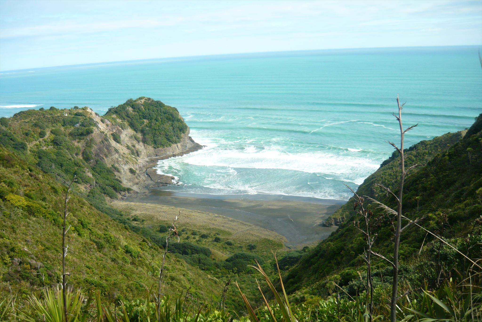
To find these caches, cachers may have used this track or a track from Whites beach, or those more intrepid rock hopped from Anawhata beach.
These routes may no longer be possible due to landslips and closed tracks, and if open this walk would be recommended for advanced hikers only:
- safety plan
- do not underestimate how challenging this could be
- take a friend
- wear hiking boots
- use low tide with minimal sea swell
- have plenty of daylight
- remember to bring a pen!
The cache "Surf & Turf" GC426K7 is still active.
For me Geocaching takes you to some amazing unexpected places, and whilst finding the above cache, it took me here, and helped create some special caching memories (September 2016).
So what did I find?
Sadly all I can share are these you-tube clips which give you a taster of the history / view of the area, and can be found if you click on these links.
If you want to learn more, there is 77 page book available from the Auckland Public library.
HUT AND HEADLAND (Anawhata)
by Lucy Cranwell & John La Roche (published 2004)
Summary:
- Is a history of the field hut built by a ‘syndicate of five’ University of Auckland Field Club students at Anawhata in the 1920s, with the land purchased in 1926.
- The hut used to sit on 7 ha of land on a headland above Fisherman’s Rock (White’s Beach) and was gifted to the University in 1966 by its surviving owners.
- The hut slept 12.
- When the hut was burnt down by an arsonist on 11 April 1998, it had been standing for 70 years.
- All that remains is the fireplace’s concrete hearth adorned by a kiwi outlined in pebbles, and memorial plaque attached to a large memorial stone, from the Te Henga Quarry erected by the University’s School of Biological Sciences.
- The land is owned by the University, and is managed with Auckland Council.
You will need to do a few simple calculations using information found on this cache page, and with the formula given, create the final co-ordinates and find the cache:
S 36° 5A.BCD E 174°2W.XYZ
A = Number of students that purchased the land
B = Number of bunks / 2
C= A hut stood here for 7C years
D = How many groups now manage the land + 3
W = Year book published 200W + 3
X = Number of X (hectares) purchased - 2
Y = Year land purchased 192Y - 1
Z = Year land gifted 196Z
CHECKSUM = A + B + C + D + W + X + Y + Z = 39
The cache is a camoed pill bottle.