The Sturtian glaciation occurred during the Cryogenian Period, when the Earth experienced repeated large-scale glaciations. The Sturtian glaciation was the longest lasting from 717–660 Ma, almost 60 million years. The term Snowball Earth is used to describe this period. Most if not all, of the earth was covered in glaciers.

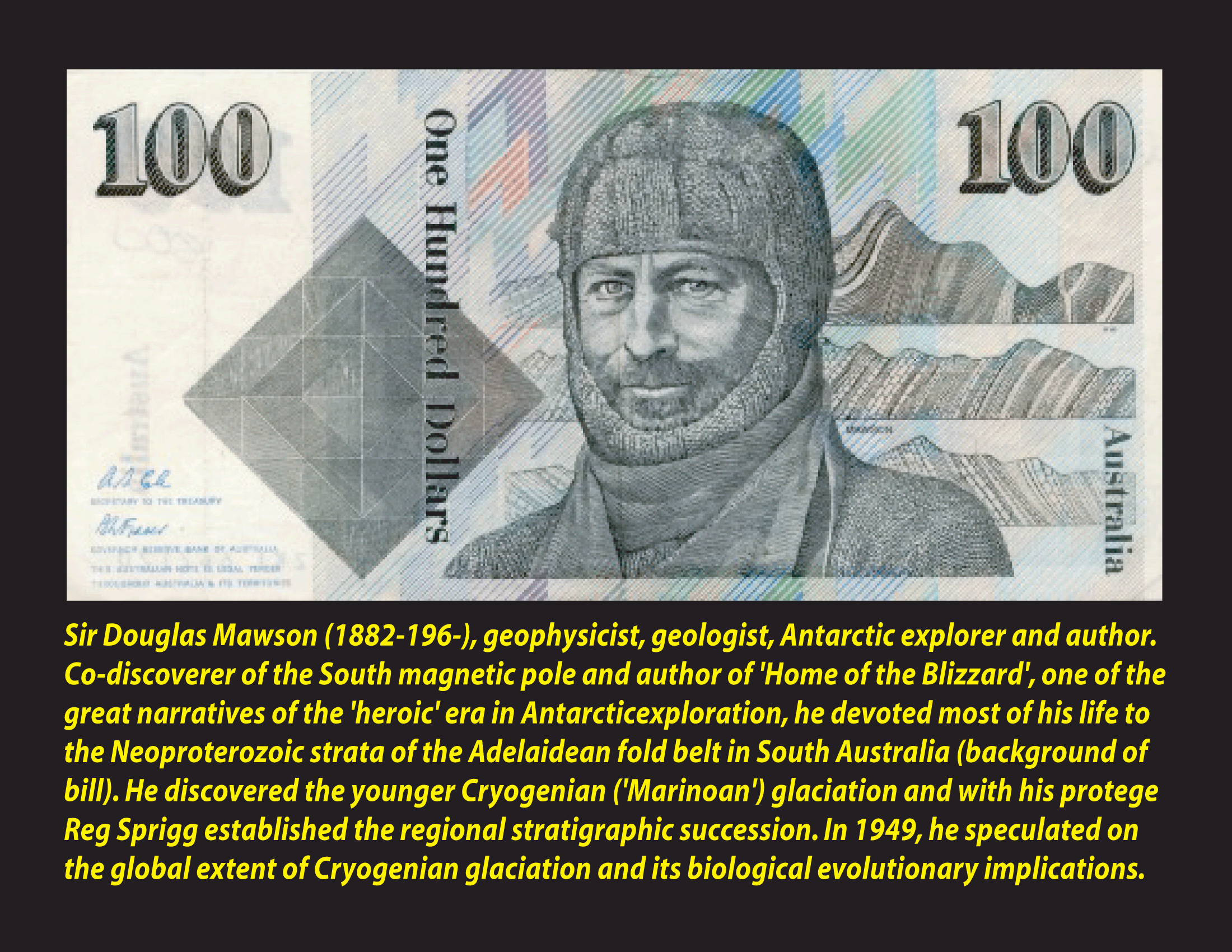
The Sturt River Tillite (Sturtian) formation was the first area in the world to provide definite evidence of a Cryogenian glaciation (Howchin 1920, Mawson and Sprigg 1950). The tillite you are inspecting is the international reference material for this formation. Because the tillites are so wide spread, and are formed by glaciers, it lead the geologists to the theory that when glaciers travelled along the ground they picked up enormous amounts of random rock pieces. Eventually the glaciers made their way out to sea where they broke off into icebergs. As they floated out to sea, they melted, and released their payload of boulders, rocks, pebbles and dirt. At the time the Australian continent plate was just north of the equator and South Australia was covered by an ocean.

The Sturt River has carved a deep, narrow gorge through the resistant glacial deposit known as Sturt tillite and is recognised as an area of great geological significance. The glacial diamictite stone consists of green-grey finely laminated siltstone matrix with boulders to rounded pebbles of metamorphic rocks; granite, gneiss, quartzite and chert. The contaminating stones, known as clasts, have been found to range up to 1m in diameter. It is hypothesised that the landform was created from glacial material picked up from various sources and dropped from the floating ice into sediments forming at the bottom of the ocean which covered the area.

At the listed coordinates you will find a large Sturtian tillite boulder that has separated from the local cliff, also Sturtian tillite. You should examine this boulder and report answers to the following questions. Take your time to examine the boulder. When you look carefully you will see the matrix is a fine layered structure with various sized contaminating rocks and pebbles of a variety of sources fundamentally different from the matrix.
- -What is the largest contaminating clast you can see in the boulder? Describe.
- -The clasts are from a variety of sources. Name two types of rock types that you can see in the contaminating rocks and pebbles?
- -Do you see fossils in this type of rock? Why or why not?
References: Wikipedia, SA Geological Monuments, Geological Society of America, Australian Stratigraphic Database, Snowball Earth