Skip to content

Dawson Hill Summit Traditional Cache

Hidden : 12/20/2016
Difficulty:
1 out of 5
Terrain:
4 out of 5

Size: Size:   small (small)

Join now to view geocache location details. It's free!

Watch

How Geocaching Works

Please note Use of geocaching.com services is subject to the terms and conditions in our disclaimer.

Geocache Description:

This small lock and lock container is located on the summit of Dawson Hill at an elevation of 1,705 meters. Expect a hike on-trail which leads to an off-trail route through lots of deadfall, covering at least 9 kilometers return with about 200 meters of elevation gain. This small rarely visited hill makes a nice winter hiking trip!


Dawson Hill from Hwy 68:

In the winter, I'd recommend parking just off the Powderface Trail in a little pullout (waypoint provided). The creek freezes every year and offers easy crossing. After struggling through some flood debris, a nice trail leads straight to the Tom Snow trail.

In the spring and summer, you will have to park at the Dawson parking area unless you want to ford the creek. This will add on about 1.5 kilometers each way to the trip, making it about 12 kilometers total, return.

Once on the Tom Snow, head east to a junction. An road follows south, and crosses over an old rickety bridge. Choose a place to leave the road and hike up the north ridge of the hill. The deadfall is persistent and offers a constant challenge. Thankfully, most of the deadfall is only ankle to knee height and can be easily stepped over. Just keep following up to the summit where the views open to the south and east. Good luck!

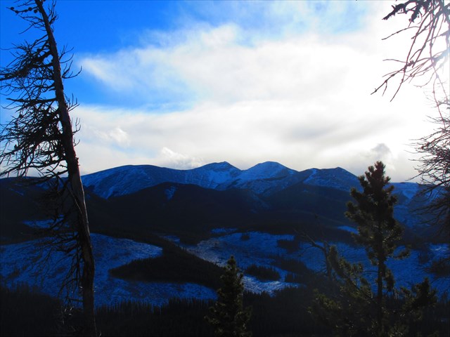
Views East from the Summit:
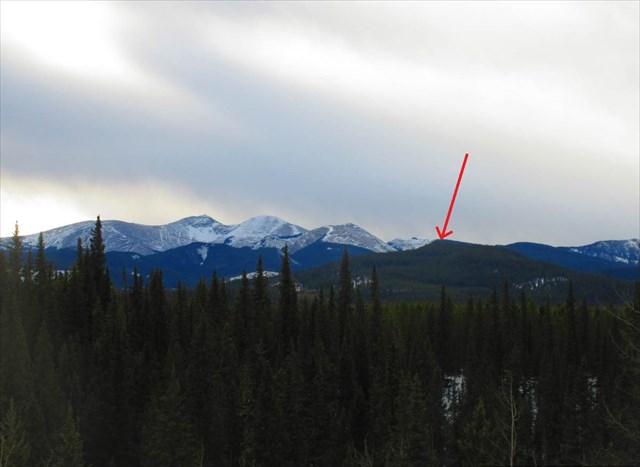
Moose Mountain:

Additional Hints (Decrypt)

** Cyrnfr eruvqr jryy! ** Ba gur fbhgu fvqr bs n gerr, uvqqra ntnvafg gur gehax ng gur onfr. Pbirerq ol n srj zrqvhz fvmrq ebpxf. Frr fcbvyre vs arrqrq!

Decryption Key

A|B|C|D|E|F|G|H|I|J|K|L|M
-------------------------
N|O|P|Q|R|S|T|U|V|W|X|Y|Z

(letter above equals below, and vice versa)