Wachiya Nunavut
Welcome to Nunavut
There are no roads leading to Nunavut so the only way to get to Nunavut is by plane or boat. Flying can be very expensive, so coming to this event would be the most economical way of finding a cache (this event) in Nunavut and getting the Nunavut geocaching souvenir. The event takes place on a 650 meter long island in Nunavut in James Bay which located about 800 meter south of the beach at the western end of Chisasibi Road in Quebec. I will be canoeing to the event. You will need a way to get to the event so bring your canoe, kayak, motor boat or other means of transportation. The James Bay Road and the road leading to Chisasibi is paved. From Chisasibi to the beach it is a gravel road.
The event takes place on Saturday, June 24, 2017 from 10am-11am at the posted coordinates. I suggest that whoever wants to go to the event as a group that we meet up at the launch point at around 9am to unload and prepare for the paddle.
You will need to launch your boat from the beach at the end of Chisasibi Road and head to the island.
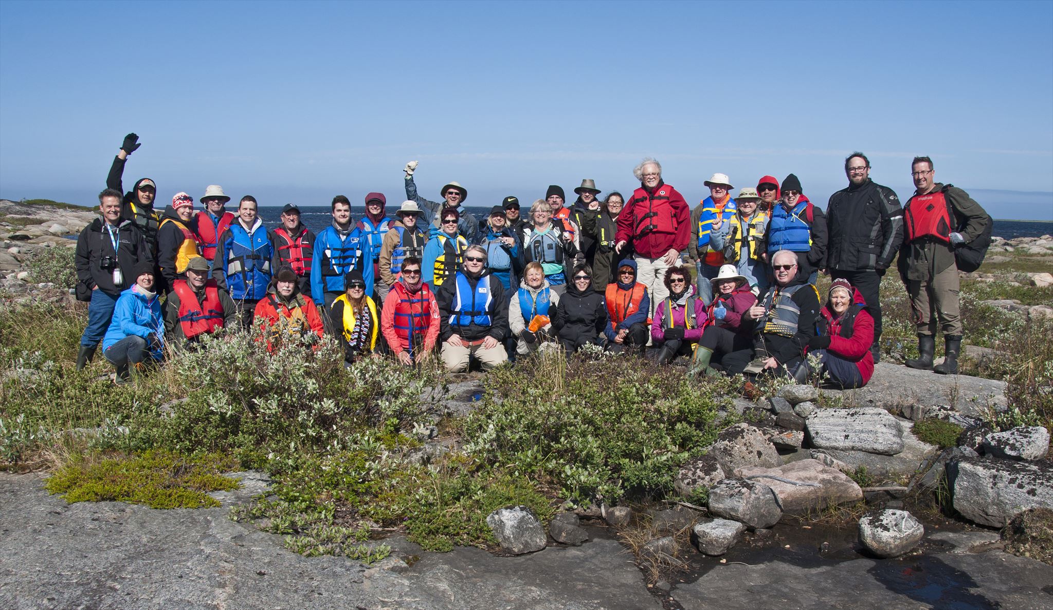
Join me and other geocachers for a social gathering here in Nunavut.
I will also be hosting another event on Monday on another island in Nunavut about 24 km north of here where you will also have the opportunity to find an Earthcache in Nunavut after the event.
Some highlights of this trip
Wednesday, June 21 - Paddle Bray Lake - Event (GC7014Y)
Thursday, June 22 - Visit Fort Témiscamingue National Historic Site
Friday, June 23 - Explore the sites along the James Bay Road
Saturday, June 24 - Event (GC6Z600) on island (Nunavut) near Chisasibi (900m paddle)
Sunday, June 25 - Event (GC748Q6) on Black Island (Nunavut) near Chisasibi (we plan on hiking 1.8km to it)
Monday, June 26 - Event (GC6Z151) on island (Nunavut) near Longue Pointe (2.7km paddle)
Tuesday, June 27 - Tour of Robert-Bourassa Generating Facility (in English, from Radisson)
Wednesday, June 28 - Visit town of Cobalt
Thursday, June 29 - Visit Dynamic Earth & Big Nickel (Sudbury)
The important thing about our adventures to the area is that we make 100% sure, without a doubt, that we actually set foot in Nunavut. There have been a couple of adventures in the past of people going to Nunavut and despite the cache and event having been listed in Nunavut, maps including Google maps clearly show that these caches were not actually located in Nunavut.
--On August 3, 2009 a group went to a cache called Shipsands (GC1WG9J) N51° 21.213 W80° 25.257, located near Moosonee, Ontario in the Moosonee River. It was listed as being in Nunavut, however maps clearly show it as being in Ontario and it is much further south than the southern most point of Nunavut.
--On August 5, 2016 there was an event at a shipwreck called Ithaca (GC6NRVE) N58° 46.155 W93° 53.339, located near Churchill, Manitoba in Hudson Bay. It's also listed as being in Nunavut, however maps clearly show it as being in Manitoba.
Islands within James Bay and Hudson Bay are considered to be part of Nunavut. Neither of the above were on an island that is part of Nunavut. Stag Island is the southernmost island and point of land in Nunavut.