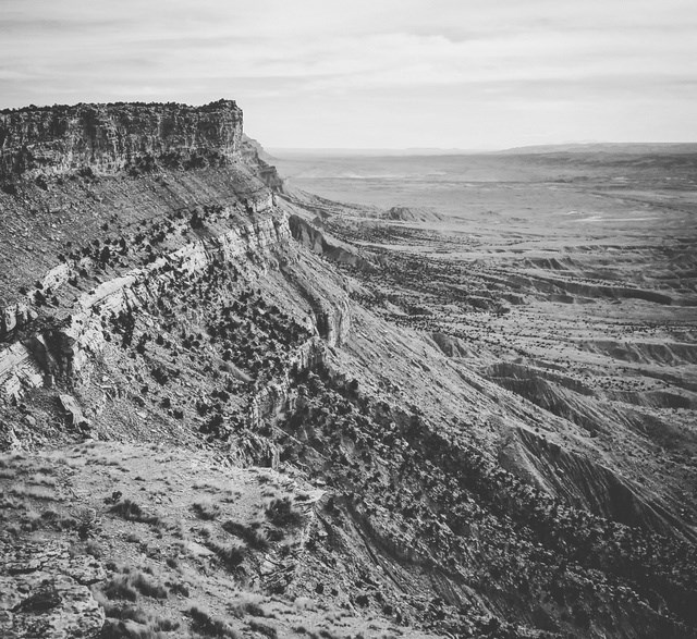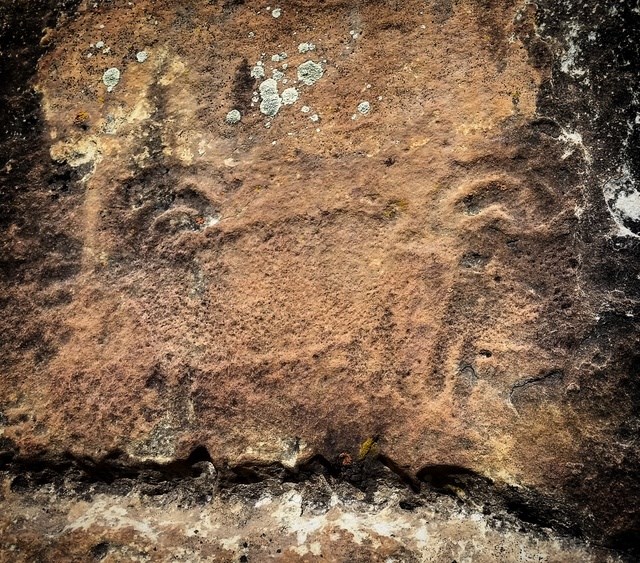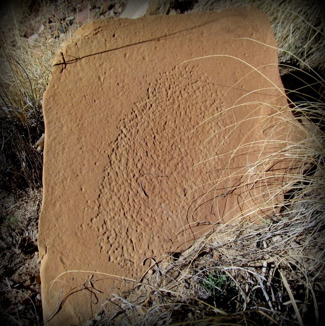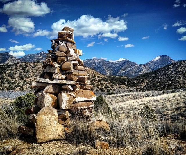
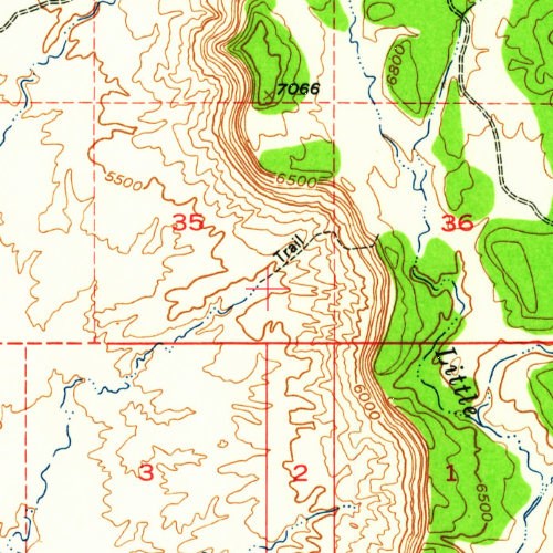
The Cove Trail is an old sheep trail that traverses the face of the Book Cliffs, and probably hasn't seen much use in many decades. It appears on the USGS 15 minute series topographic map for Woodside, Utah, 1948, but was omitted from the more recent 1985 Lila Point map. Petchem and I climbed the rugged trail and placed a geocache in the huge cairn at the top. We also found some interesting traces left by native Americans near the top and bottom of the trail.
If you choose to ascend the trail to reach the geocache, it's a steep, rugged climb with 1,200' elevation gain. Our round-trip hiking distance was about seven miles, but that included about three miles of road walking (because a washout prevented me from driving the Jeep closer) plus some additional wandering at the top and bottom of the trail.
The cache is more easily accessible from Little Park Road and would require a hike of about 1.5 miles round trip, and with much less elevation difference than hiking up the trail from the bottom.
The container is an orange matchstick container and is hidden at the northwest base of the cairn behind a rock slab (see spoiler pic).