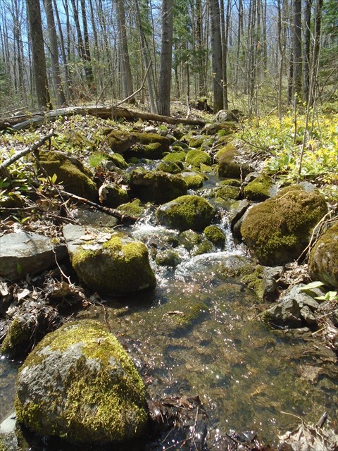
This is one of our favorite hikes in the area. There are a variety of hide types along the trail on both sides of Hwy 32. The caches were hidden in the spring with little foliage on the trees. We have tried to use obvious beacons and clues to go with them to make it easier when GPS signals are not as precise during the summer. Some caches have more than one clue. Some clues are in more than one cache. The final is a reasonable distance from the parking coordinates so it doesn't matter which side of the road you start on. We hope you enjoy the trail.
Information from the USDA Forest Service website
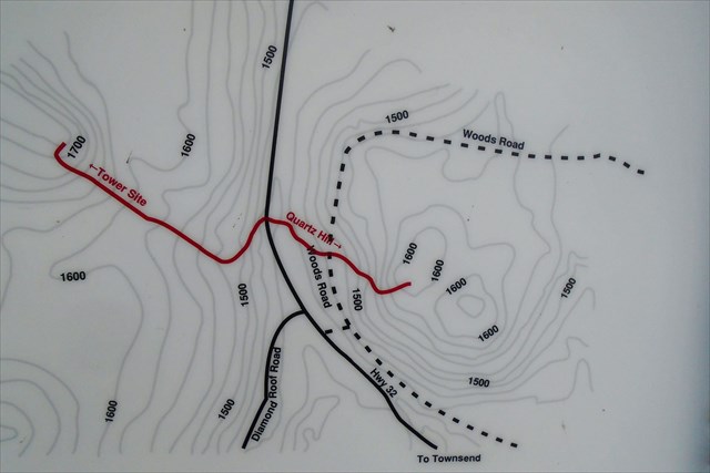
This trail has two sections, one located on the east and one on the west side of State Highway 32. The east section leads across a boardwalk to the top of McCaslin Mountain. It has moderately steep sections, but the view from the top of this quartz rock outcrop is worth the climb. Along the trail to the top, you will pass a quartz crystal deposit with an informational sign which describes how early Indians came here to quarry quartz to create their tools. The west portion of this trail leads to the site of the Carter Fire Lookout Tower. Once used to spot forest fires, all that now remains are the tower footings and roadway. Most fire towers on the Nicolet were erected in the 1930's and have since been discontinued as aerial surveillance took over.
The parking area is on the west side of the highway. To get to the east portion of the trail from the parking lot you must cross over State Highway 32. Be cautious for high speed traffic. Trail Length: The trail section to the east to McCaslin Mountain is 6/10 mile. The section to the west to Carter Tower site is 3/4 mile.
Special thanks to bartrod and screamin' mimi - We won the fully stocked ammo can for this final at an event they hosted last fall. (Update May 2021 Unfortunately the ammo can was stolen in the past year. Replaced with a peanut butter container. Sadness.)