The Find Your Chesapeake GeoTour
Seaford Riverwalk

The Chesapeake Bay, the great rivers that feed it, and the vast landscapes surrounding them are at the center of our nation’s story. More than 2,600 miles of designated water trails, 55 units of the National Park System, and scores of state parks, local parks, and wildlife refuges are found within the Chesapeake Bay watershed. Each takes part in conserving special places for visitors, residents, and future generations. The Chesapeake Bay region is filled with rich history and heritage, opportunities for education and science, and beautiful scenery suitable for explorers of all ages. Join us in discovering the Chesapeake region when you “Find Your Chesapeake” and take advantage of our beautiful treasure.
The Find Your Chesapeake (FYC) GeoTour launched June 9, 2018 with over 60 caches within Maryland, Virginia, Pennsylvania. and Delaware. A trackable geocoin will be awarded to the first 300 geocachers, while supplies last, for locating at least 20 FYC caches. To be eligible for the coin, geocachers must download a passport from the Find Your Chesapeake GeoTour website. Geocachers must find and log at least 20 finds, record the code word from each cache on their passport. After discovering the 20 required caches, geocachers may have their passports validated via mail at the National Park Service, Chesapeake Bay Office located at 410 Severn Ave, Suite 314, Annapolis, MD 21403. Please refer to the passport for complete validation instructions.
Participating in the FYC GeoTour is fun and we hope that many people join in. However, it is not a requirement for logging your find on this cache once you find the container.
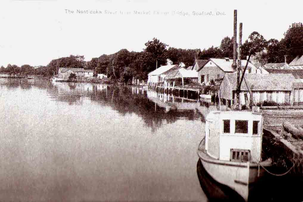
Explore the maritime history of Seaford through exhibits at the headwaters of the Nanticoke with Indian life, Patty Cannon and Harriet Tubman the Underground Railroad, early agriculture, shipbuilding, the canning industry, oyster shucking, the coming of Du Pont, and much more. After logging this geocache, see what you can discover in this riverwalk.
The Geocache
The cache is at the listed coordinates (on the Riverwalk), but you MUST visit the Canoe Launch and Boat Ramp along with locations along the Riverwalk to determine the combination to access the cache. The lock combination is comprised of 4 letters: L1-L2-L3-L4. Although these stops can be made in any order, the following is the most efficient:
Waypoint 1 - Seaford Boat Ramp - N38 38.002 W75 37.085
- L1 = Second Letter of the seventh word on the NOTICE sign.
Waypoint 2 - Canoe Launch - N38 38.484 W75 36.408
- X = # of lines of text (including numbers) on the SEAFORD CANOE LAUNCH sign. L2 is the Xth letter of the alphabet.
Waypoint 3 - Fire Museum - N38 38.507 W75 36.623
- Y = # of letters in the person's whole name who donated the bell. L3 is the Yth letter of the alphabet.
Waypoint 4 - Sign - N38 38.448 W75 36.545
- L4 = LAST letter on the sign with the word "PROHIBITED".
 Thanks to hostanut for helping with this hide.
This cache hide and hide style was placed with permission and help of the municipality.
Note: The puzzle part of this cache has been changed as of 2/1/2020.