This is a jewel hidden just a short drive from Fairbanks. Angel Rocks trail is part of the Chena River State Recreation area and is on the way to Chena Hot Springs. The trail is a 3.7 mile loop, is well marked, and the views are stunning... especially as it gets closer to sunset!
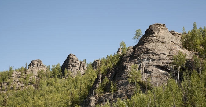
As you walk along the trail, you will come across large rock formations. These rock formations are called tors. The tors formed millions of years ago when molten rock pushed upward and cooled before it reached the earth’s surface. The huge mass of granite that was formed is called the Chena Hot Springs pluton and is still there today, under the ground, spanning roughly 15 miles long, 5 miles wide, and several miles thick. As the surrounding earth slowly eroded, the less erodible rock pinnacles were exposed, forming what is now called Angels Rocks.
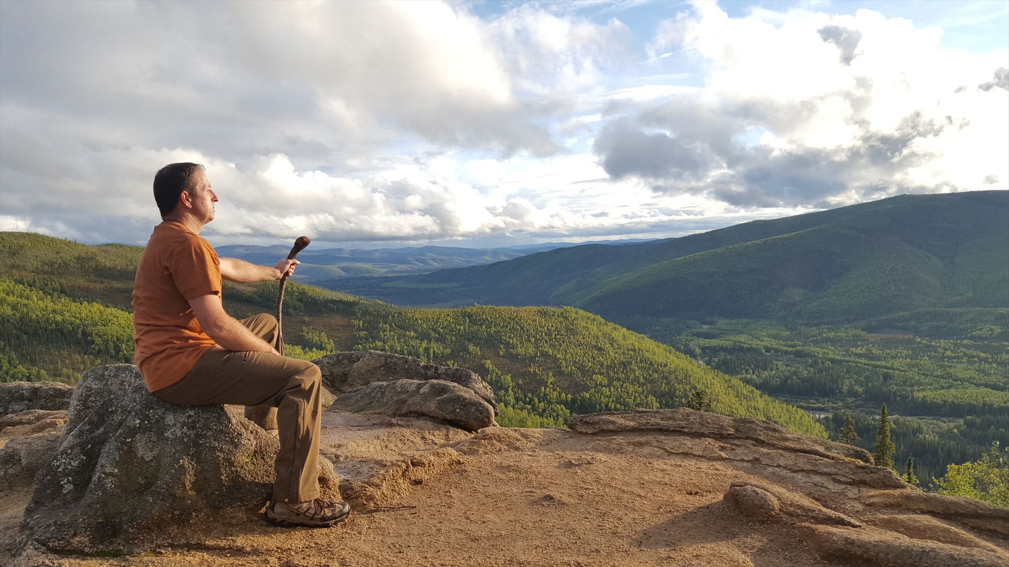 The view from atop the Tor
Frost wedging is a term used to describe how something as simple as water and ice can carve out large sections of the granite through freezing and thawing cycles in the winter and summer months. Some of the tors you will encounter show clear signs of frost wedging , while others do not.
As you make your way to the posted coordinates, you will also find some interesting flora along the trail, especially in July. Look for broomrape and witches-broom near the first part of the trail, and purple and yellow violets along the stream. Sage, poppies, arnica, and dog-bone can be found on steep, south-facing slopes. On north-facing slopes, you’ll find completely different vegetation. Plants such as moss campion, saxifrage and bunchberries thrive in the damp coolness found there. These plants are remnants of the vegetation that covered the interior 10,000 to 20,000 years ago.
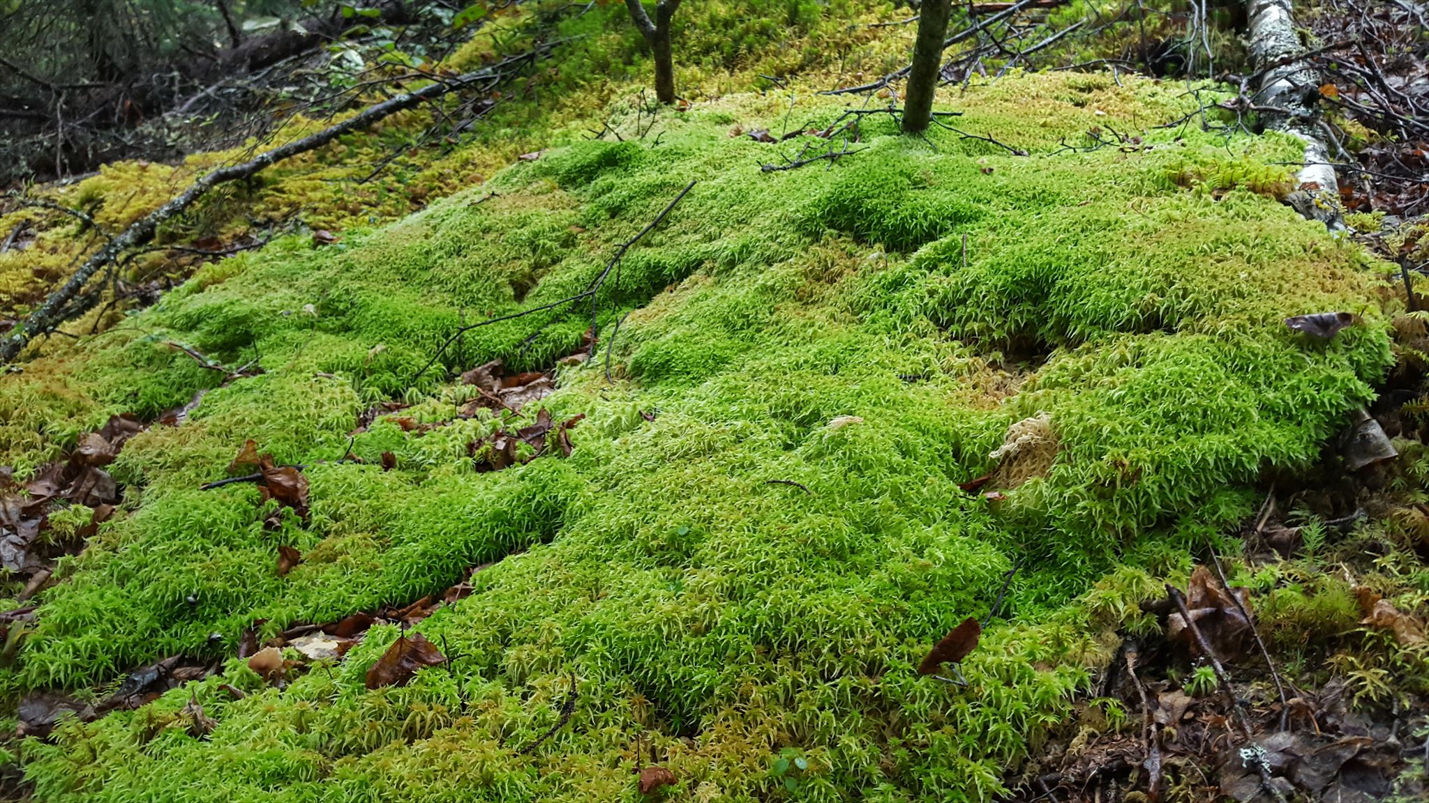 Moss along the trail
In order to claim this cache, please send me a message and answer the following 2 questions:
1. As you walk along the trail, you will come across some interpretive signs. One of these signs has a section that tells you to ‘Be Educated’. Please tell me what is thin and susceptible to erosion when disturbed.
2. When you get to the posted coordinates, you will be next to a tor. As you observe that particular tor, look for evidence of frost wedging and the magnitude of the effect from the frost wedging that has taken place. What is the approximate height and width of the larger void (closest to the posted coordinates) created from the frost wedging?
3. Optional. Post a photo of you on top of the tor at the posted coordinates.
Find more information, along with a trail map here: http://dnr.alaska.gov/parks/maps/angelrockstrail.pdf Information on the formation of the tors and frost wedging pulled from Wikipedia