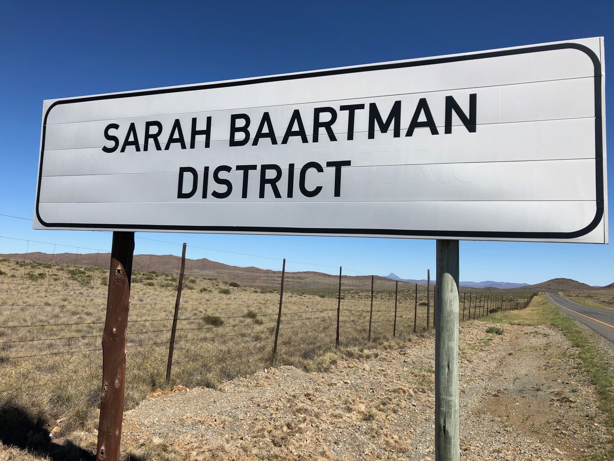
YOU ARE NOW ENTERING SARAH BAARTMAN DISTRICT MUNICIPALITY
This sign along the N2 highway depicts the municipal border crossing between the Nelson Mandela Bay Metropolitan Municipality and Sarah Baartman District Municipality.
Please park well off the road, there is enough parking space at GZ.
Sarah Baartman Municipality:
- Stretches from Graaff-Reinet in the north to the Indian Ocean in the south and between the Great Fish River in the east and Bloukrans River in the west
- Is the biggest district in the province, making up approximately a third of its geographical area
- Main Economic Sectors: Agriculture (mohair), tourism
- Area: 58 245km²
- It comprises seven local municipalities: Dr Beyers Naudé, Blue Crane Route, Makana, Ndlambe, Sundays River Valley, Kouga and Koukamma. The district surrounds one of the largest metropolitan ports in South Africa, Nelson Mandela Bay (Port Elizabeth).