To log this earthcache, please don’t stress about answering the questions. Simply send your best attempts in a private message to me, (the cache owner), and then go ahead and log it as found.
You don’t need to wait for my approval. All attempts will be accepted.
Go ahead and have fun learning! 
- [REQUIRED] Please post a photo in your log of yourself or a personal item at Rainbow Haven Beach to prove you visited the site.
- When you encounter the outcrops, describe the difference between the first few outcrops and how their appearance progresses as you walk further along.
- In some outcrops, you may see concentrations of manganese oxide. Describe what this looks like? (How does it run? Colour, pattern, etc.)
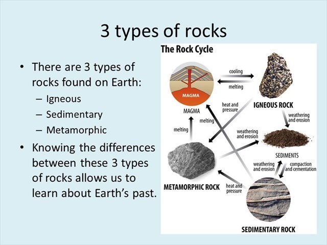
- What type of rock is the Marker Horizon? (Sedimentary, Metamorphic, or Igneous)

When you arrive at GZ, you will start to see the outcrops that form the length of the marker horizon.
The Dividing Line
This site is very important for learning about the Meguma Terrane. The Meguma terrane, also known as Megumia, is a terrane exposed in southern Nova Scotia, that became joined to the present North American landmass as part of the Appalachian orogeny. The Meguma terrane is unique to Nova Scotia. Nowhere else can it be seen on land.

The exposed part of the Meguma terrane, the Meguma Group, is largely composed of 10 km of thick Cambrian to Ordovician turbidites that have been interpreted as submarine fan deposits. The Meguma terrane is joined to the Avalon terrane along the Minas Fault Zone, which runs east-west from Chedabucto Bay to Cobequid Bay and the Minas Basin. The Meguma Group is intruded by numerous Devonian and Carboniferous plutons.
The extent of the formation is unclear; some geologists believe that a magnetic anomaly along the coast of Cape Cod may represent a suture between the Meguma and Avalon terranes in that region. Unlike the Avalon terrane, the Meguma terrane has not been definitely associated with a territory on the other side of the Atlantic. It may be represented in either the Galicia-Tras-Os-Montes Zone in Spain and Portugal; the West African Craton in Morocco; or the Amazonian Craton. Meguma was, nevertheless, part of Gondwana during the Cambrian, and possibly formed a single peri-Gondwanan fragment together with Avalon. Meguma then became shortened during the Acadian orogeny but Avalon somehow escaped those Acadian deformations.
In order for geologists to map the Meguma, they need what geologists call a marker horizon: a distinctive, thin, widespread layer you can always recognize. Here at Rainbow Haven Beach, you can see the marker horizon used by Nova Scotia geologists to create maps of Meguma’s thick pile.