Notice: "Cache seekers assume all risks and responsibilities involved in seeking this earthcache." “Just because it is there, doesn’t mean you have to seek the cache!” Don’t let earthcaching control you, but rather you control earthcaching.
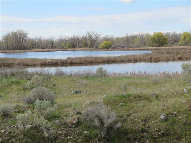
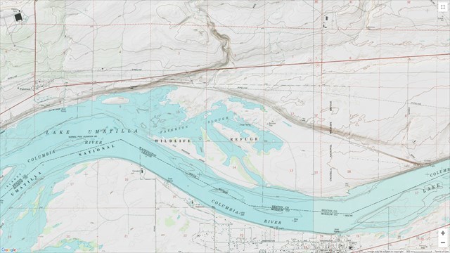
Paterson Slough, a marsh area off the Columbia River, is on the Washington side of the Umatilla National Wildlife Refuge. It is located between Plymouth and Paterson, Washington. The area was settled by Henry T. Peterson, a pioneer in 1868. The town, the ridge, and a nearby spring are named after him.
Geology of the Paterson Slough
There are several factors that created the Paterson Slough.
1. The Yakima Fold Belt was formed by ancient tectonic pressures of the Columbia Plateau. Over millennium, lava flows and sediment created the Basalt ridge above the slough down to the Columbia River floor. Erosion of this basalt has continued since the great Missoula Flood and draining of Lake Lewis which carved its way through the Wallua gap beginning 15,000 years ago and the waters of the Columbia River today. Potholes, swirlholes, plunge pool and channels were left from erosion of the basalt rock of the river bed.
2. The building of the John Day Dam slowed and backed up waters flowing down the Columbia. John Day Dam, completed in 1972, some 60 miles to the west, backs up water into the newly formed Umitila Lake and provides water to fill the potholes and minor channels left from erosion.
3. The spread of the Columbia River bed at this point. The valley floor of the John Day Umatilla Basin extends from Paterson Ridge 10 miles north of the slough to Swaggart Buttes 30 miles to the south. The Columbia River spreads out across the valley at this point away from the Paterson Ridge creating an ox bow in the river and is up to 3 miles wide. This ox bow in the bend of the river captures sediment, boulders and gravel from the river and has built up over time and closed off some of the eroded holes and channels into gravel bars, small lakes and islands from the river.
To access the area, drive into Plymouth, WA and take Christy Rd west out of town, then turn left into the wildlife refuge just before crossing railroad tracks at waypoint 1.
Permission for this Earthcache was obtained from the Umatilla National Wildlife Refuge Manager.
Rules and regulations
One of the main rules is to only park in designated parking lots along the way. See signs in the refuge for complete details and rules.
To log this Earthcache, please send a private message to me with answers to the following questions.
1. Describe the shapes, sizes, colors and texture of the river rocks near the edge of the sediment covered depression.
2. Why do you think the depression at this location is not fully filled in with sediment?
Optional: Upload a photo to the page of local wildlife, unique vegetation or geology in the area.