Falls of Tarf
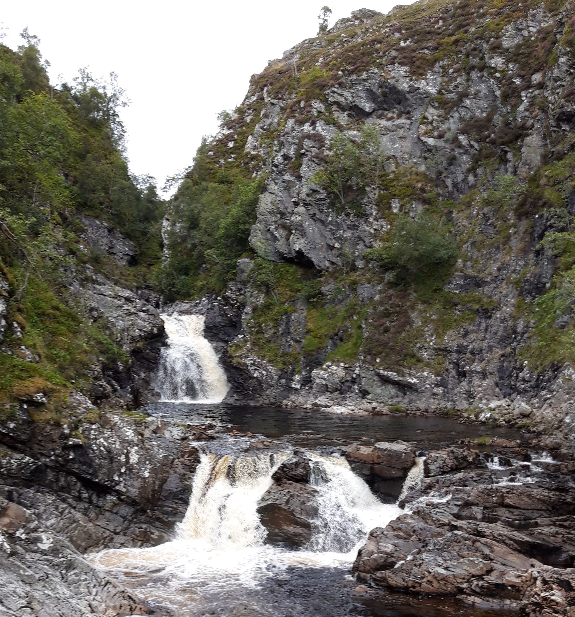
This virtual cache leads you to the Falls of Tarf, a nice spot we discovered during our hike thorugh the Cairngorms in Summer 2019. For me the suspension bridge is what makes this spot remarkable, even more than the waterfalls do. So this is the reason for the task you'll have to complete to claim this virtual cache.
To claim this virtual please make a drawing of the bridge (I'll leave it to your own discretion how much work you put into it, but it should be recognisable) and post a photo of your drawing in front of the bridge.
It would be nice if you leave an extensive log telling where you are coming from and heading to.
The Route we took in summer 2019:
We started our hike through the Cairngorms at Blair Atholl station and walked first past the campground and then past Old Bridge of Tilt, staying on the western side of the River Tilt. At reference point 2 we took the path to the left, so we would walk on paths instead of the track leading to Forest Lodge. Beware that you need to cross a firing range when following our route, which may be impossible on some days, so check first. Just when you leave the firing range, the track leads on to the track to Forest lodge, however you'll want to go through the gate to the left (Reference Point 3). This path leads you to a viewpoint, near of which we spent the first night, as we only started in the afternoon. If you follow the path further up the valley at some point you'll join the track to Forest Lodge at a bridge. Until here you've followed the Glen Tilt Trail, which turns back at this bridge, but you continue on. From here you follow the track up the valley until at Reference Point 4 you'll have to take the right track. Now it's not far anymore to the falls.
You reach the falls after 21km, so you'll most probably need to spend a night outdoors if you're walking. If you're mountainbiking you could do this in one day, however I would recommend taking the track up the valley instead of the trail. Instead of turning back, you could also continue walking north, just as we did. Note though, that you need to cross Alltan t-Seilich, Bynack Burn and Geldie Burn, which may impossible without wading. For us this was the case for the latter two and we took a pathless detour on the east shore of Geldie Burn. As we headed towards Bob Scott's bothy, this wasn't a big issue, but it may be depending on your destination.
See also this walk report
Please be aware that you enter sparsely populated areas and should be able to complete the way to the cache and back without assistance, even if it takes longer than expected and in worse weather conditions than expected. You assume all risks involved in geocaching (see disclaimer).
Please leave the following text at the bottom of the page, so cache finders understand the Virtual Rewards 2.0 project.
Virtual Rewards 2.0 - 2019/2020
This Virtual Cache is part of a limited release of Virtuals created between June 4, 2019 and June 4, 2020. Only 4,000 cache owners were given the opportunity to hide a Virtual Cache. Learn more about Virtual Rewards 2.0 on the Geocaching Blog.