The rocks you see around you at Mount Elbert's summit have not always existed as you see them today. In fact, the geology of Mount Elbert begins approximately 2 billion years ago and several miles beneath the Earth's surface during the Proterozoic Era, which is before multi-cellular life began to evolve on planet Earth!
The rocks that now make up the upper part of the mountain are mostly gneiss containing the following minerals:
Qartz - A clear mineral also known as silicon dioxide and is the most abundant mineral found at the Earth's surface.
Feldspar - This is a large group of rock-forming silicate minerals.
Mica - This is another large group of minerals, whose colors can be purple, rosy, silver, gray, green, brown, black, green or even colorless.
Garnet - This is another group of rock-forming minerals. Most people associate the word "garnet" with a red gemstone, however garnet occurs in many other colors and has several uses, such as waterjet cutting, abrasive blasting media, water filtration granules, and abrasive powders.
All of these minerals were were deposited as sandstone and silt stone deep below the surface of the Earth. These original sedimentary rocks were later subjected to pressures in excess of 3000 bars (roughly 3000 times the atmospheric pressure at sea level) and temperatures ranging from 800°F-1300°F. The presence of a rock type called amphibolite is proof of the intense conditions for these rocks' creation, as this type of rock can only be created under such intense conditions. Another proof of these extreme pressures is is gneiss banding, which is the appearance of lighter and darker parallel lines in the rock. Lighter bands contain felsic minerals (containing silicon, oxygen, aluminium, sodium and potassium) while the darker bands contain more mafic minerals (containing more magnesium and iron). Bands that are smooth were subjected to relatively even pressure during their creation, while bands that are uneven were subjected to uneven pressure during this process. It is this uneven pressure that makes gneiss so hard, as the uneven bands do not fracture easily when force is applied.
Mount Elbert's rocks began their upward journey roughly 300 million years ago when compressional tectonic forces created folding and reverse faulting that uplifted the region that would later become the modern Rocky Mountains. This uplifted area, known as the Ancestral Rockies, has long since disappeared due to erosion over countless millennia, but the actions brought the rocks that can be seen today much closer to the surface.
Sometime between 75 million and 40 million years ago, the North American plate experienced another episode of compressional tectonic forces, which thrust rocks that had previously only existed below the Earth's surface to points miles above sea level. Needless to say, this is the event that created the Rocky Mountains as we know them today. Interestingly, both the Ancestral Rockies and the modern Rocky Mountains formed at a considerable distance from any known plate margin. This is something of a contradiction to plate tectonic theory, and a puzzle that geologists are still trying to solve.
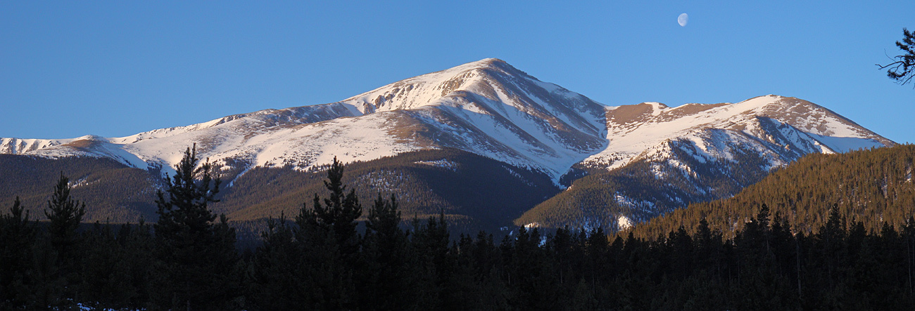
Mount Elbert's landscape, as seen today, was shaped by many alpine glaciers over the millennia, but mostly during the Bull Lake glaciation (about 100,000-140,000 years ago) and the Pinedale glaciation (about 40,000-10,000 years ago). Glaciers deposited moraines and eroded cirque basins on the eastern and southern slopes of the mountain; these features can be seen today in the Box Creek and Bartlett Gulch drainage areas. Large ice streams also flowed down the north and south side of Mount Elbert; these ice streams became what is now the Halfmoon Creek drainage on the north side of Mount Elbert, and the Lake Creek drainage to the south. Twin Lakes (reference point #1), which is at the mouth of the Lake Creek drainage, was enlarged by construction of the Twin Lakes Dam in 1978.
To log this Earthcache, please email me the following information. Logs that do not have an accompanying email will be deleted without warning.
1. Find the NGS benchmark at the summit. (It's embedded in a textbook example of gneiss.) Note the crystal structures that form the lighter bands in the rock. How big are the crystals and what mineral (based on the descriptions above) do you think they are?
2. Note the darker and lighter gneiss bands. Do you think these bands were produced by an even application of pressure, or do you think the pressure was uneven? Explain your answer. Does this application of pressure make the rock harder or less hard?
3. (Optional) Post a picture of you or your group at the summit in your log.
The geological information for this Earthcache was sourced from this website.
Additional information for this Earthcache was sourced from the Mount Elbert Wikipedia page.