
The Tuia Mātauranga GeoTour is about having fun discovering the history of Aotearoa New Zealand by finding sites of significance in local communities from early Pacific voyaging and migration, European settlement to present day. The interaction between people, and people and the land have provided a rich history that the GeoTour invites you to explore.
---
To be able to complete this Geotour and receive your special geocoin, remember to take a note of the codeword on the log book of the cache. This will need to be recorded in your passport which can be downloaded from here. If the passport is unavailable for any reason just keep a note of the codeword and try again later.
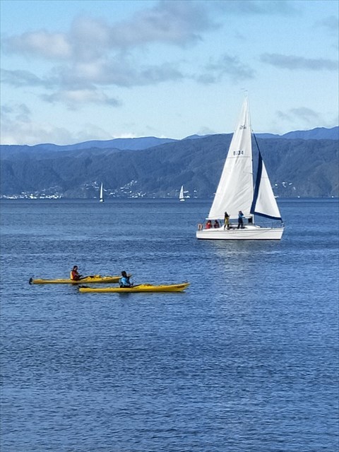
The Waterfront
Wellington's waterfront is a pleasant place to for a lunchtime or evening stroll, a place to sit and watch the world go by, dine in style, or perhaps even catch a ferry to the other side of the Harbour!
Much of the shoreline in Wellington Harbour has changed from when European settlement began in the 1840s. Then it was simply a beach, and until wharves and jetties were built it remained the only means of access from the water. Reclamation has added over 155 hectares to the inner-city area, changing markedly the shape of the harbour, and in doing so has destroyed many of the traditional Māori kai moana (sea food) beds and food sources.
Kumutoto Kāinga
Kumutoto Kāinga was situated west of Woodward Street above the mouth of the Kumutoto Stream, which flowed into the sea where Woodward Street now intersects with Lambton Quay, then the coastline. (The Kumutoto Stream now runs underground and out to sea).
The site was known as a flax collecting area and a boat landing site, and in 1831 served as the central flax-collection point in a network of flax stations up and down the east of the North Island. Flax, because of its strength, was a sought after commodity by settlers during this period, as it was used as an everyday item, for example as strapping and ropes for shipping, and for the latching and thatching of houses and roofing.
This site was the earlier dwelling place of Te Atiawa chief Wi Tako Ngatata, who along with approximately fifty other people moved to Kumutoto when Ngāti Mutunga left for the Chathams in 1835. Kumutoto ceased to exist as an occupied settlement in 1853 when Wi Tako moved to the Hutt Valley.
The cache
This cache is a magnetic container. Please exercise extreme stealth when retrieving and replacing. The location may be occationally inaccessible (i.e. when someone is already sitting there). If so, please come back later. The cache has a logbook, containng the keyword which you will need to complete the GeoTour, but has no room for a pen - you will need to provide your own.