Tannery Park in Oakville is located where 16 Mile Creek meets Lake Ontario. The beacon and observation deck was added a number of years ago. This year they are complete redoing the waterfront below with new trails, art installations, plaques and signs, a new larger paved parking lot and many places to sit and enjoy the view. The new additions to the park should be completed soon.
This multi cache will take you to 3 locations (which you can do in any order) where you will need to gather information which will then lead you to the final. Final is an "ammo can" hide.
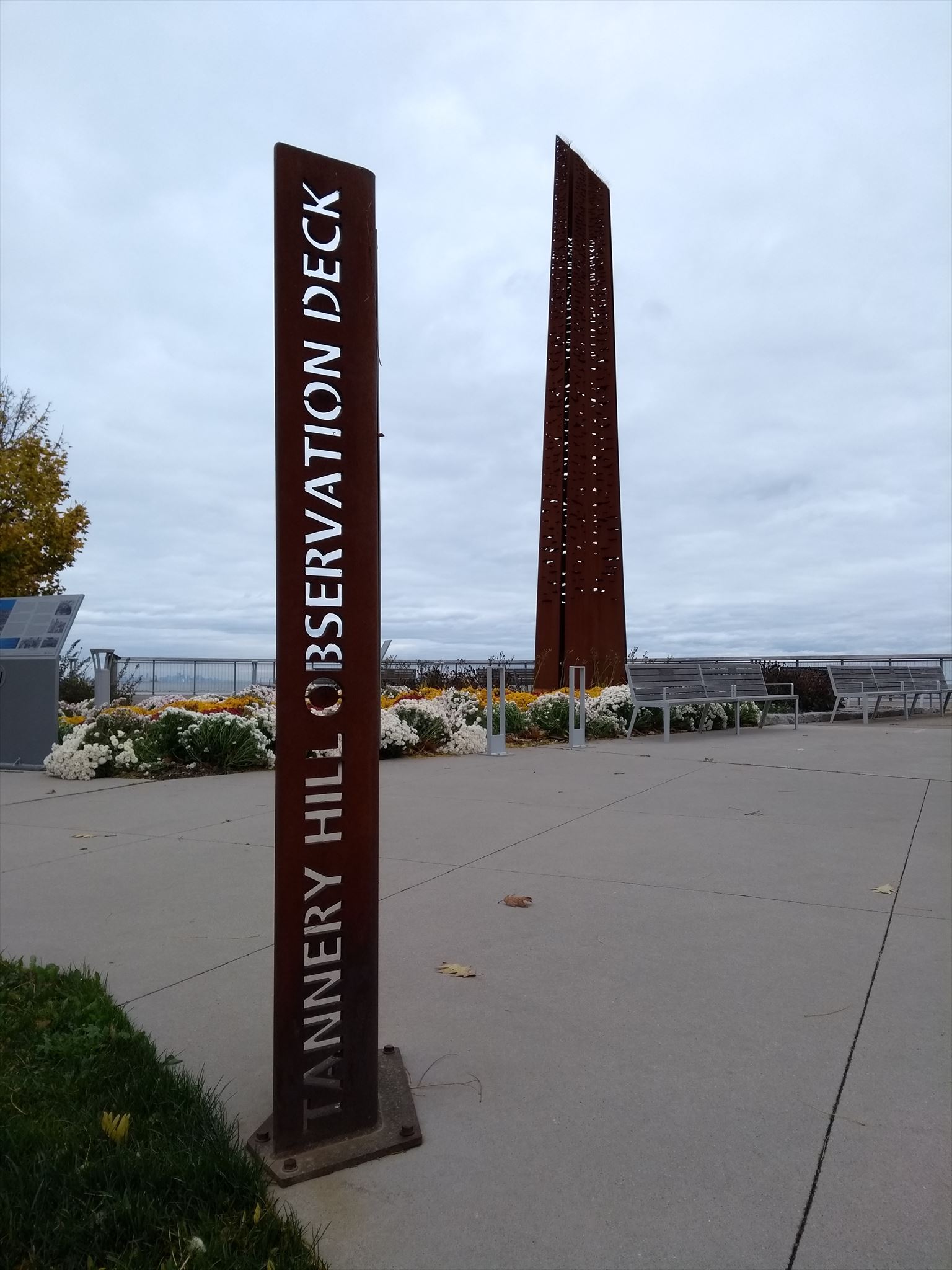
Tannery Hill Beacon sign (N43 26.403 W79 40.048 - Posted coords)
A = How many meters above grade is the tallest point of the Beacon? Sign is currently covered up by another sign for the month of November. Answer is 12 meters.
Streetlife (N43 26.360 W79 40.025)
B = How many wooden boards is Streetlife made of? You have to count them.
Horizontal Iron Wall (N43 26.374 W79 40.025)
C = The cut patterns in the structure represent sunset reflections on the Oakville Harbour water. How many cut patterns (holes) are in this structure?
X = (A + B) / 1000
Y = C / 1000
To find the "ammo can" at the final location add X to N43 26.327 and add Y to W79 39.957.