La cache è nascosta lungo la "strada della Caussa" un tratto sterrato quasi completamente ombreggiato che collega la vecchia strada ferrata con la parte più alta della collina si Santo Stefano. Questo tratto di percorso era caduto in disuso nei tempi passati, è stato recentemente restaurato dal gruppo Alpini di Breganze e costituisce di fatto una scorciatoia che permette di chiudere l'Anello di Santo Stefano senza dover passare necessariamente per il centro del paese.
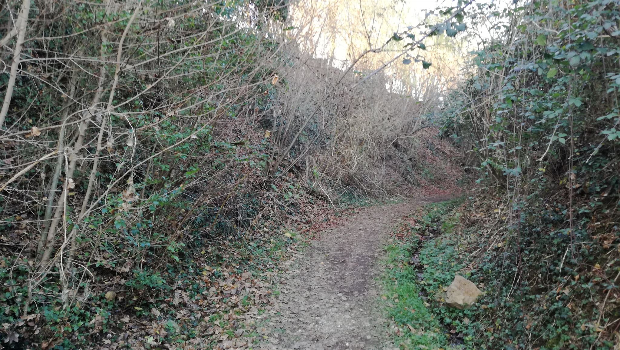
The cache is hidden along the "Strada della Caussa", an almost completely shaded dirt road that connects the old railway track with the highest part of the hill of Santo Stefano. This stretch of route had fallen into disuse in past times, was recently restored by the Alpini group of Breganze and is in fact a shortcut that allows you to close the Santo Stefano ring without necessarily having to go through the center of the village..
Il giro di Santo Stefano
Breganze è situata nella fascia pedemontana tra l'Altipiano dei sette comuni e la pianura vicentina, circondata nella parte settentrionale da tre dorsali collinari che portano a Fara, Farneda e Sangiorgio. Verso est invece si trova la collina di Santo Stefano che per la sua posizione e conformazione è una delle mete preferite per chi voglia farsi una piacevole passeggiata partendo dal centro del paese.
Il cosiddetto giro di Santo Stefano è un comodo percorso di cinque Km circa che dalla piazza principale di Breganze permette di salire fino alla collina di Santo Stefano, passando tra vigneti, vecchie ville, cantine e quella che un tempo fu la strada ferrata che congiungeva Breganze a Marostica. Per chi vuole esiste anche una variante più breve che permette di chiudere l'anello tramite la vecchia "Strada della Caussa".
Se volete passare un'ora in mezzo alle colline breganzesi questo percorso vi permetterà di unire una bella passeggiata al geocaching!
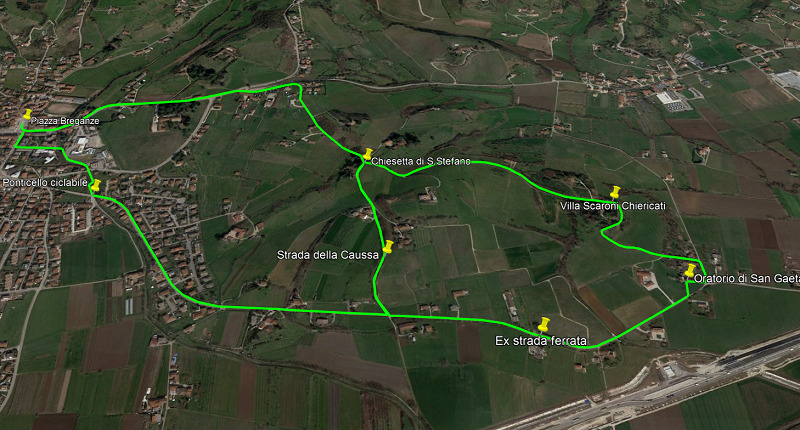
Breganze is located in the foothills between the plateau of Asiago and the plain of Vicenza, and is surrounded in the northern part by three hilly ridges that lead to Fara, Farneda and Sangiorgio. To the east, instead, there is the hill of Santo Stefano which for its position and conformation it is one of the favorite destinations for those who want to take a pleasant walk starting from the center of the town.
The so-called "tour of Santo Stefano" is a comfortable route of about five kilometers that from the main square of Breganze allows you to walk to the hill of Santo Stefano, passing through vineyards, old villas, cellars and what was once the railway track that connected Breganze to Marostica. There is also a shorter variant that allows you to close the ring via the old "Caussa road". If you want to pass one hour in the middle of the Breganzese hills this route will allow you to combine the walk with geocaching!