Information specific to this cache:
Hungry Hollow Floodplain
This earthcache deals with a beginner introduction to floodplains.
As you walk along the approximately 400m long boardwalk in Hungry Hollow, you can make various observations about this floodplain. This boardwalk was constructed to fit within the landscape to allow hiking through this floodplain year round while at the same time protecting the ecosystem and natural habitat from trampling and disturbance. Before the boardwalk was built, it was often a wet and muddy hike along the former trail here, especially during the spring.
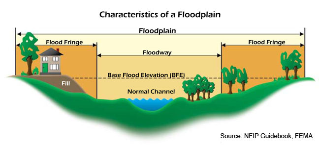
Basically, a floodplain is an area where there is a river or stream (Silver Creek as is the case here) that regularly overflows, and the flooding is often seasonal. It is usually a flat area with steeper sides (The slopes of Hungry Hollow that you see to the north and west of here) on the perimeter. A floodplain can be small, large, and sometimes massive. That doesn't mean that every time there's a flood, water fills the floodplain. But eventually, there will be a flood that extends to the edges of the floodplain.
Floodplains form due to both erosion and deposition. Erosion removes any hills that the river meanders around, creating a wide, flat area on either side of the river. During a flood, material being carried by the river is deposited (as the river loses its speed and energy to transport material). Over time, the height of the floodplain increases as material is deposited on either side of the river. Floodplains are often make for good agricultural land, as the area is very fertile because it's made up of silt that is deposited from a flooding river. The floodplain is often a wide, flat area caused by bends in the river as they shift along the valley.
The main characteristics of floodplains are:
1) A generally flat area of land.
2) Borders a river.
3) Floods when the river is exceptionally high.