This geocache is a continuation to fishingmad's mountain bike riding series. Given this trail's theme, I thought it would be nice to add another cache: #19.
fishingmad decided to do a series of caches called “My Favourite Rides” to mark some of his Mountain Bike Rides that he regularly did around the place.
|
|
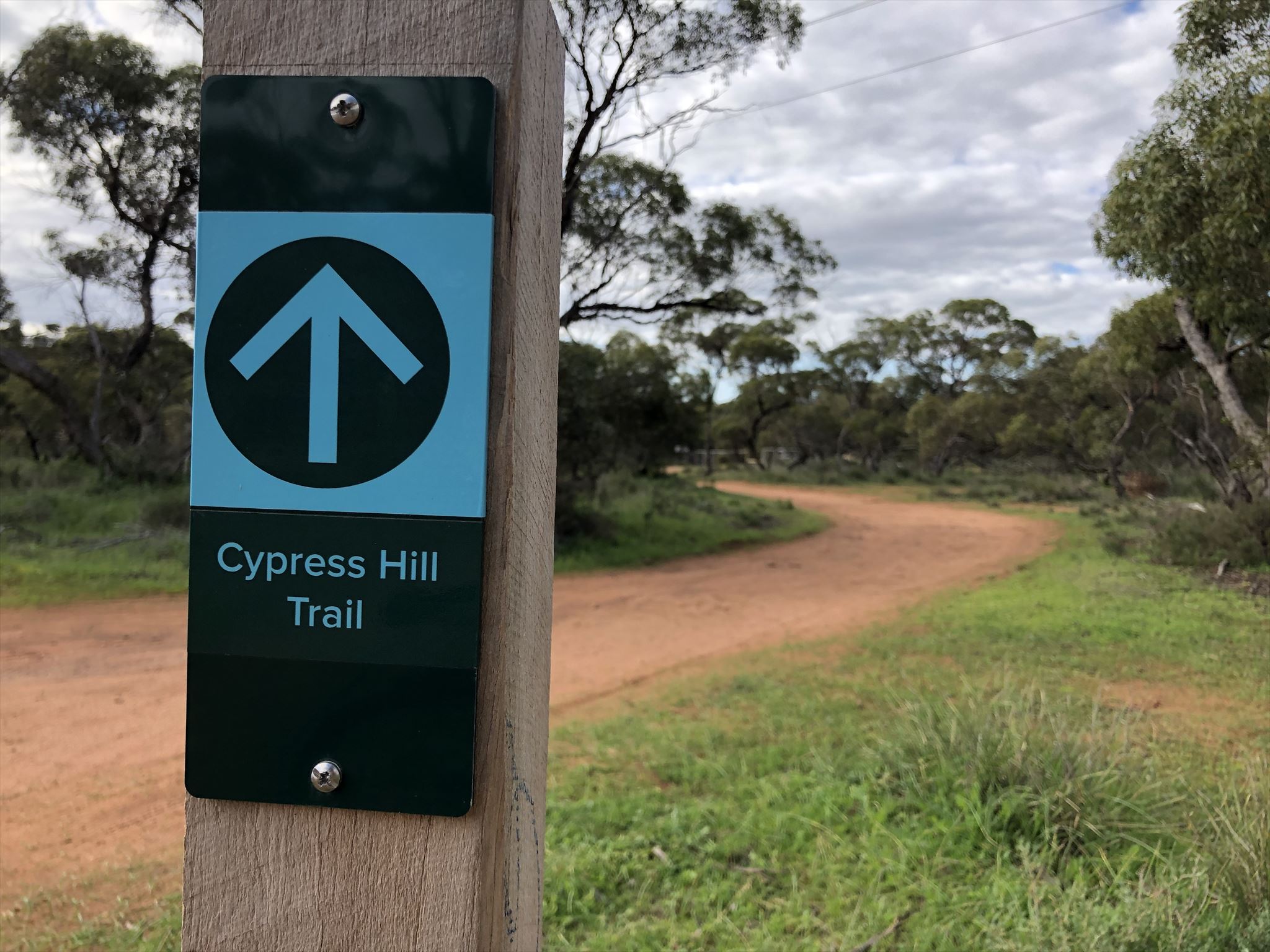
Cypress Hill Trail is a 6.3 km walking and mountain biking trail opened in mid October 2019 in Kinchina Conservation Park. The trail was ORS grant funded, and built at a cost of A$200,000 by Destination Trails.
The trail can be ridden in both directions, and is a reasonably friendly trail, with small flowy sections, and some rocky ascents/descents.
To obtain the final coordinates for this multi-cache, collect the digits defined by A to OP at the Cypress Hill Trailhead from the signs and labels at the beginning of the trail.
Waypoint 1 (Posted Coordinates):
There is a gate at the posted coordinates to Kinchina Conversation Park.
Gate: A; and
Grid: BCD EFG.
Waypoint 2:
There are three signs (small trailhead sign left, and two larger signs on the right). On the middle sign, on the third line, there is a three digit number:
HIJ.
Waypoint 3:
Finally, there is a nearby stobie pole with a label and numbers:
"LSDF" KLMN; and
"Pole" OP.
Final Coordinates:
The geocache can be found at:
S 35° L(A+I).FOP' E 139° 1(J-E).(D-F)G(O-B)'
Checksum:
The final coordinates can be confirmed by adding up each of the coordinates' minutes digits separately.
Minutes = 28.