4. Ox Lane
Again, I've had to take an average with the coords here due to the tree cover.
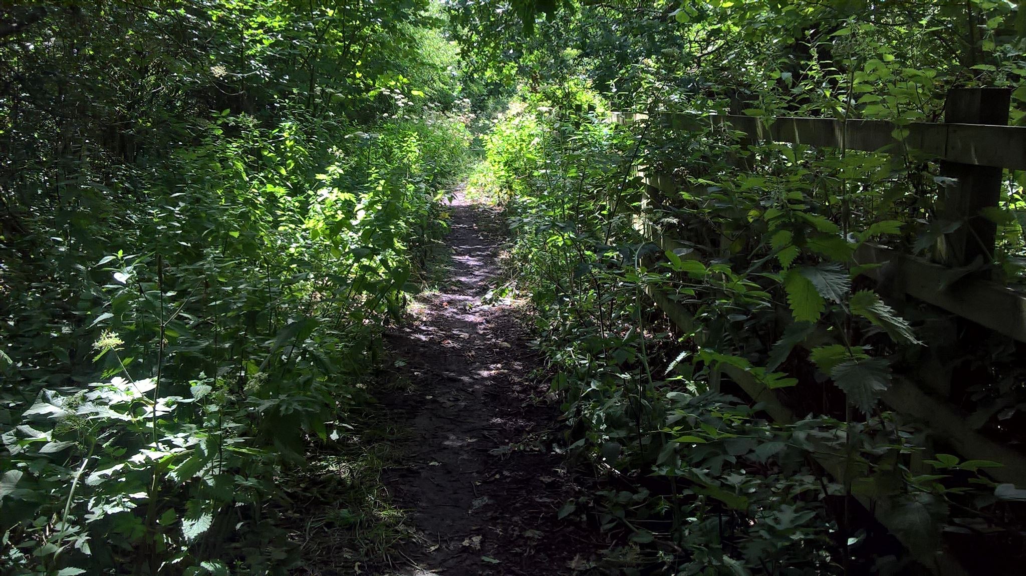
I couldn't find much in the way of history about Ox Lane, except that it is a medieval road leading on from Dacre's Bridge Lane from this point on.
I used to love walking my doggies down this lane many years ago. Since then, the freeflow extensions to the Tarbock Interchange have changed area quite a bit. The paths have been diverted and have shrunk to half the width. However, it's still a very pretty walk, enjoy!
PARKING
N 53° 23.975 W 002° 48.928 – Chapel Brook Car Park
N 53° 23.036 W 002° 48.835 – End of Ox Lane (Please be respectful of residents)
DO NOT PARK AT GREENSBRIDGE FARM – It is for residents only
N 53° 22.582 W 002° 47.842 – Netherley Road Lay-By
N 53° 23.683 W 002° 48.030 – Dacre’s Bridge Lane (Please be respectful of residents)