Two Birdies? Two Pars? on the Holland River
While hiding this one, we heard a discussion about Birdies and Pars, from just on shore (Must be a golf course over there somewhere). Someone was quite excited that he had two pars, but even more excited that his buddy had two birdies. Listen closely, and watch for flying golf clubs. If the day is a good one, you may here the excitment. But if its a bad one, you might have to duck from flying golf clubs. Just saying!
Scoring in Golf: Ace, is a Hole in one; Eagle, is two strokes under par; Birdie, is one stroke under par: Par, is the score a good player might expect on a hole; Bogey, is one stroke over par; and Double Bogey, is two strokes over par. (I bet it goes up from there).
--------------------------------------------------------------------------------------------------
Welcome to the Holland River!
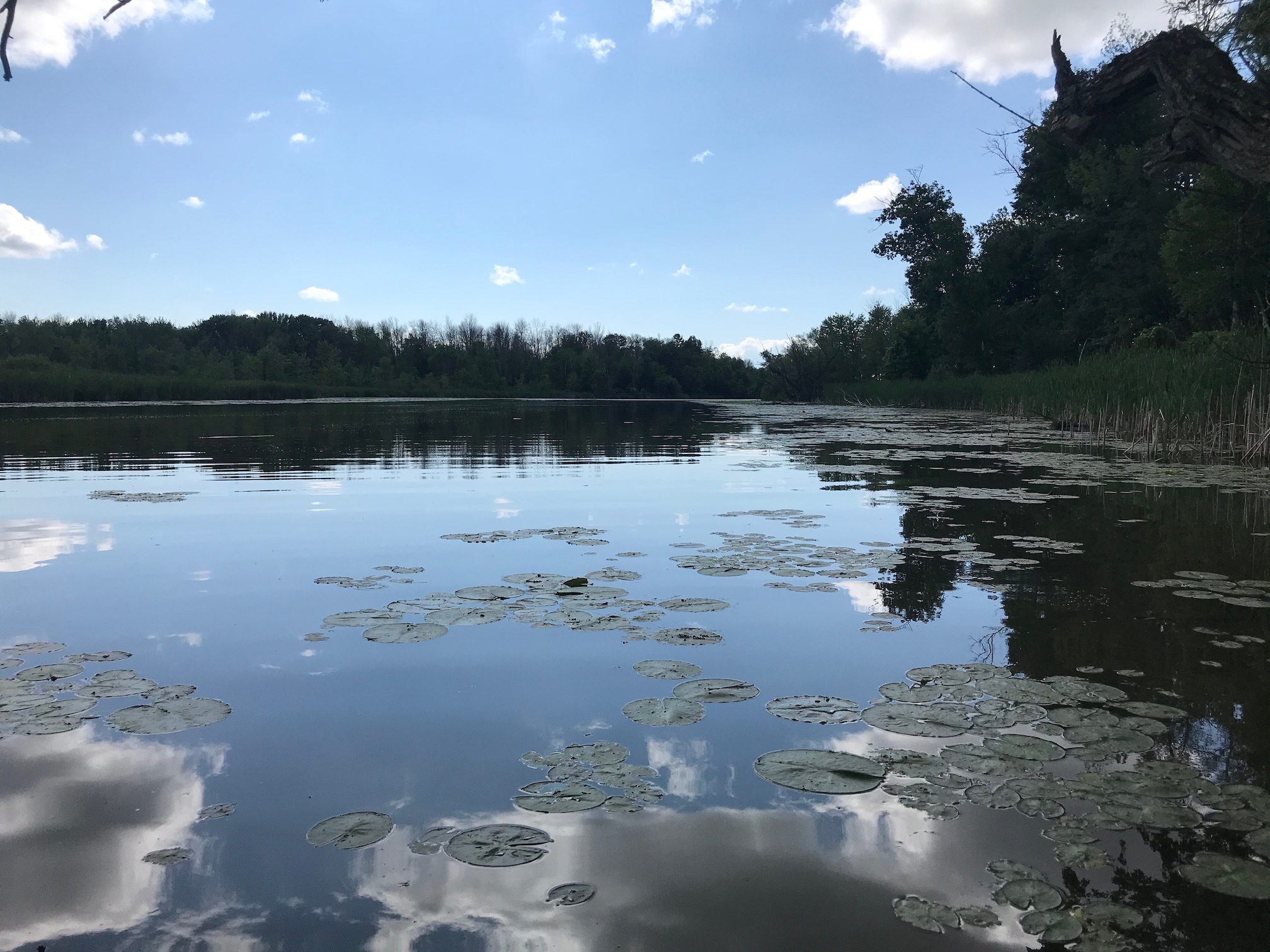
A Little about the Holland River
The Holland River flows North, with it’s headwaters in the Oakridges Moraine, and terminating in Crooks Bay, in the southern part of Lake Simcoe.
The river was originally known as Micicaquean Creek, its indigenous name, and was renamed by Lieutenant-Governor Simcoe after Captain Samuel Holland (1729–1801), a Dutch-born first Surveyor General of British North America.
The watershed is approximately 600 square kilometres, and includes parts of several townships as well as the Holland Marsh, a fertile farmland region well known for its vegetable production, including carrots, onions, beets, parsnips, celery, cabbage, lettuce, kale and Chinese vegetables.
Holland River Water Caches
This series of water caches will take you from the Launch at Canal Road and Bridge Street, North along the West Branch of the Holland River, and then South along the East Branch of the Holland River to the suggest put-out on Queensville Side-road East. (See provided Waypoints).
Many of these caches are easily accessible from the waters edge, and although they were placed from a Canoe, we tried to keep the ones thatwe could, low enough for those that prefer to Kayak to easily retrieve.
However, as you paddle further North, to the junction of the West and East Branches of the Holland River, the trees become scarce, the cattail marsh thickens, the distance between caches increase, and you must exit your watercraft, and Marsh-whack (Yes, I made that word up), to reach the hidden geocache.
Paddling the Holland River
The paddle from the put-in to the take-out (if you do it in one day) is:
West Branch is 7.5 km
East Branch is 6.5 km
Total paddle is 14 kms
Boat Traffic and Hunting Season:
Please be weary there are a number of marinas located on both the East and West Branches of the Holland River. One might expect that boat traffic could be quite heavy on the weekend, as speeding boats make their way North to Lake Simcoe.
Avoiding the area during Duck Hunting season is also advisable. It is a marsh after all!
Using the Hints:
The hints provided, have been designed to help you find the caches quickly, if you choose to use them.
One More Thing:
All Letterbox Caches contain a stamp. The stamp is not a trade item, please do not remove it from the cache container, and use caution when retrieving the logbook, as the stamp could easily drop from the container and be lost.
Enjoy your paddle!