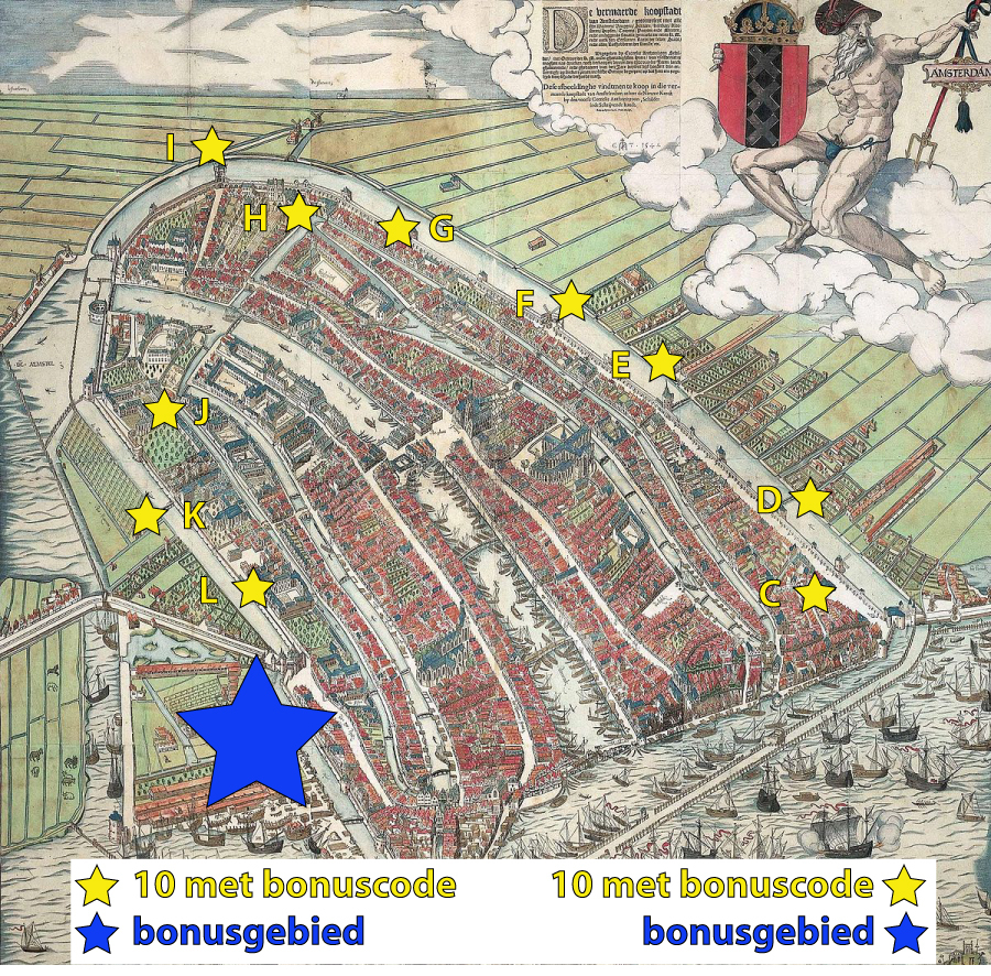
Langs de locatie waar in de 15e eeuw de stadsmuur van Amsterdam stond, ligt een in 2020 geplaatste serie van 10 caches. Wanneer je op Amsterdam Centraal aankomt, is dit een mooie wandelroute langs de oude begrenzing van de middeleeuwse stad (langs het Singel en de Kloveniersburgwal), die tevens nummer 5 in de Canon van Amsterdam is. Vergeet niet de reference points te bezoeken, dat maakt de route nou juist zo leuk!
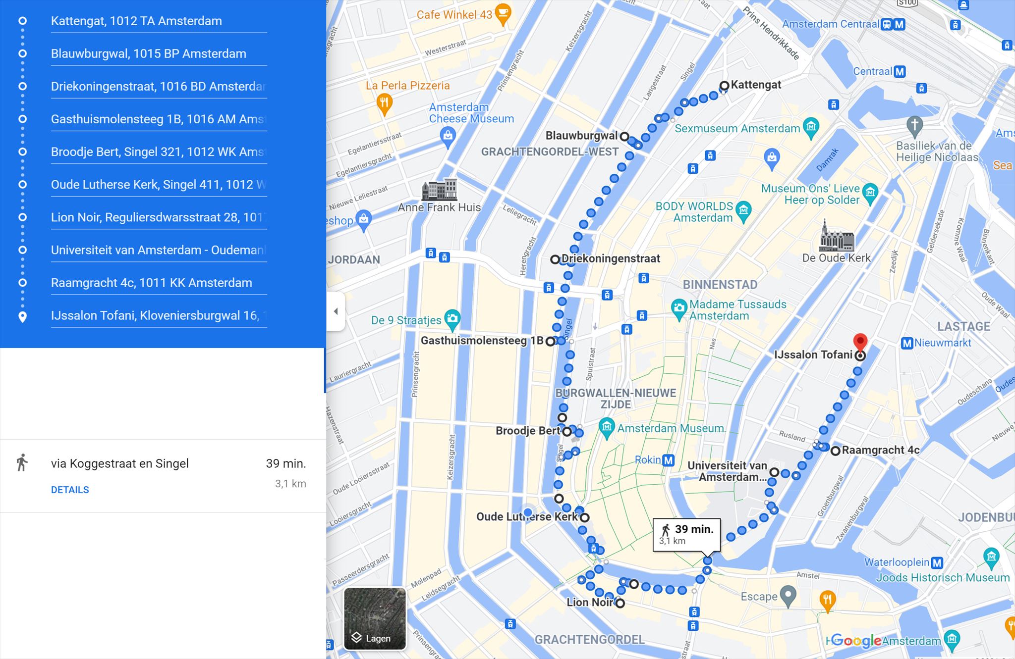
Vergeet niet de bonusletters te noteren die op de logrollen van deze cache-serie (C t/m L) vermeld staan voor de BONUSCACHE. De BONUS CACHE bevindt zich ergens in de buurt van cache L en is te vinden door het invullen van de formule van de BONUSCACHE die je kunt vinden op de geocache-kaart. Op de oude kaart van Amsterdam hierboven zie je de locaties van de caches C t/m L van deze serie. Onderstaand de meest optimale looproute op de kaart: exclusief zoektocht naar bonuscache is de route 3 km lang.
Along the location of the old city wall of the 15th century is a series of caches placed in 2020. When you arrive at Amsterdam Central, this is a nice walking route along the old borders of the medieval city (along Singel and Kloveniersburgwal). Don't forget to visit the reference points with their explanation. This makes this route extra nice.
Don't forget to write down the bonus letters that are listed on the log rolls of the caches named C to L. The BONUS CACHE is somewhere near cache L and can be found when filling in the code of the BONUS CACHE which you can find on the geocache-map. On the first map above you can see the locations of the caches C to L of this series. On the second map you see the optimal walking route on the map: excluding searching the bonus cache, the route is 3 km long.
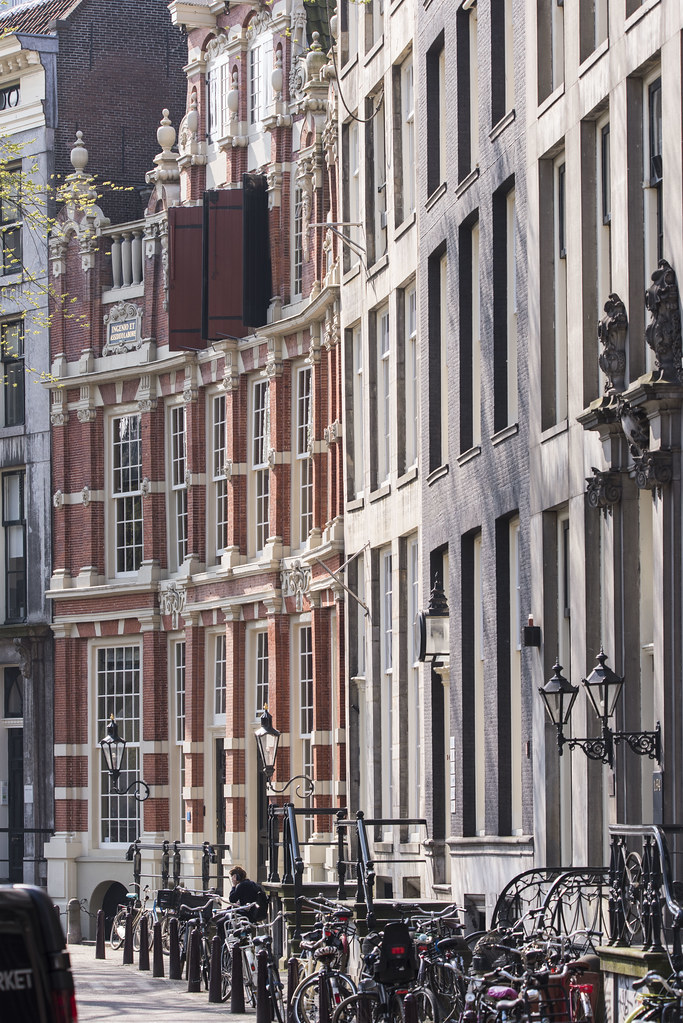
De cachelocatie geeft een mooi doorkijkje naar Huis Bartolotti. 
The cachelocation gives a nice panorama to Huis Bartolotti.
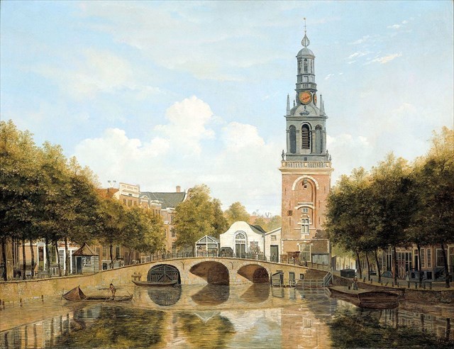
The old citywalltower on the bridge in front of cache D, painting of H.G. ten Cate uit 1829
Vanaf de vindplaats van deze cache heeft u een fijn panorama op de Torensluis, die brede brug over het Singel. De getraliede ramen onder de brug aan de centrumzijde zitten er niets voor niets: dit was vroeger een ondergrondse gevangenis. Vroeger stond hierboven de Jan Roodenpoortstoren, die door de aardbeving van 1692 scheef is komen te staan en in 1829 werd afgebroken omdat de door Napoleon verarmde stad het onderhoud van de verwaarloosde en door houtrot aangetaste toren te duur vond.In 2003 zijn de contouren van de toren zichtbaar gemaakt in de keitjesbestrating.
From the location of the cache one has a nice panorama over a wide bridge: this is called the Torensluis. Below the bridge was a jail in the past. Above it was a tower, which was tilted after an earthquake in 1692 and demolished in 1829 because of lack of money due to the war with Napoleon. In 2003 the contours of the tower are made visible again with grey cobble stones. Standing on this bridge looking at the corner houses one can see that in the time of the ancient citywall the houses were orientated towards the alley, while when the citywall was gone, the corner houses were all facing the canalwater.