Welcome to Livingston County’s Bicentennial GeoTrail!
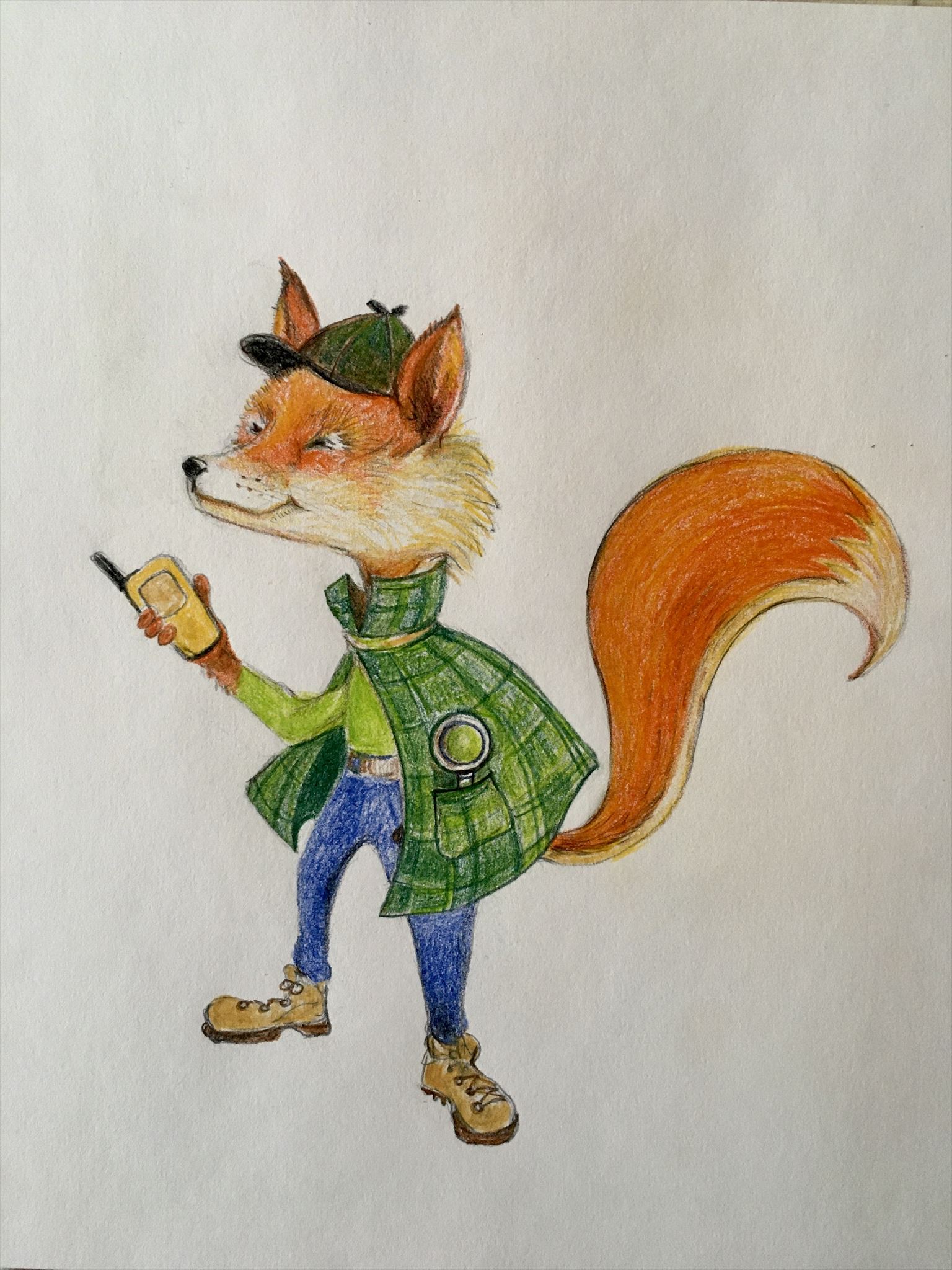
My name is Find R. Fox. I’ll be your guide to super-sleuthing the hides at these amazing, historical locations all around our beautiful 200-year-old county!
To make your travel through history a bit easier, imagine yourself in a Time Machine (your best mode of transportation will do). Set the dial (your gps unit) to the first year (coordinates) listed below, check the waypoints for Parking and push the navigate button! Whirl your way there then switch your coordinates as needed to navigate to the geocache to sniff out the container and sign the log sheet. Good Luck & Enjoy the journey!!
Park Hours: 8 AM - 8 PM.
This is the 2nd of 3 caches regarding the Sullivan Campaign.
The 1779 Sullivan-Clinton Expedition, or Sullivan Campaign, was a military campaign during the American Revolutionary War against British Loyalists ("Tories") and the Haudenosaunee (Iroquois) tribes who sided with the British (in this case, the Seneca tribe).
On September 12, 1779, General Sullivan’s troops entered Livingston County and marched by the foot of Hemlock Lake and over steep terrain to set up camp at what is now known as Foot’s Corners, about two miles from Conesus Center.
Sullivan ordered Lt. Thomas Boyd to organize a scouting party to discover the location of the large Indian village known Little Beard’s Town. Boyd assembled 23 men and left late that night passing by Loyalist Colonel John Butler’s right flank, without either group knowing of the other.
The next day the scouting party spotted a small group of Indians. A brief gun fight occurred and one Indian was killed. As Boyd and the scouts started to return to Sullivan’s army they spotted more Indians on the trail. Despite the advice of his Oneida guide, Boyd pursued them. This decision proved to be a fatal mistake.
Boyd led the scouts directly into enemy lines where they were surrounded and outnumbered. At least 15 scouts were killed and eight escaped. Boyd and Sergeant Michael Parker were captured and taken to Little Beard’s Town where they were tortured and killed.
Sullivan’s army discovered the ambush site (Ambuscade) three days later and the slain soldiers were buried with military honors. The remains of the scouts were left at the site of the Ambuscade battlefield until 1841, when they were removed to Mount Hope Cemetery in Rochester.
Near the parking area, there is a sign. Some questions are from the back of the sign. For the rest, go West past the pavilion to the trailhead, then turn South to follow the mowed path trail towards the monument. Walk up the hill to the monument to gather information for the final, which is also within walking distance of parking. Please be careful on hill, cement supports for removed stairs were still in the ground. We walked to right side of hill, then crossed near top of hill. This puzzle is NOT meant to be tricky, we have tried to be as clear as possible.
Cache is hidden at N 42 43.AMB, W 77 43.USH, where
A = number of people pictured on stone bench in the fenced area of the monument
M = number of stars on stone bench minus number of month listed on bench
B = number of points on top of fence posts along back fence (with your back to the hill up which you climbed, you are facing the back fence), from corner to corner, including corners
U = From back of sign near parking, What happened here section – number of letters in word following where the men were taken, Chinesse ______ minus one/p>
S = From back of sign near parking, Who was involved section – number of items in bold print, one per paragraph. Example: 1 would be answer if information was Find R. Fox – cache owner
H = From back of sign near parking, last digit of rededication year
Please cover cache back up, leaving it as good or better than you found it.

You can validate your puzzle solution with certitude.
For those who cache with GPS, here's a checker A + M + B + 2 = U + S + H
Yes, there is another cache present near the monument, GCJXNV, Ambuscade, for those who have not already gotten it.
Thanks to the Town of Groveland for allowing placement of this cache!
This cache is 1 of 36 caches comprising the Livingston County Bicentennial GeoTrail (LivCo200) placed in the summer of 2021 in honor of Livingston County’s Bicentennial by members of the local geocaching group called the Bee Hive. For more information about Livingston County’s Bicentennial, visit the County Historian’s Bicentennial web page on the Livingston County New York website at https://www.livingstoncounty.us/1115/County-Bicentennial
