TP1070 - Barton Heights
Not far from this hide, if you look carefully - you can just see the Barton Heights (TP1070) triangulation station hidden in the hedge. (See reference waypoint)
Grid reference : SE 71814 72806
Height : 115.97 M
On 18 April 1936, a group of surveyors gathered around a white concrete pillar in a field in Cold Ashby, Northamptonshire, and began the retriangulation of Great Britain.
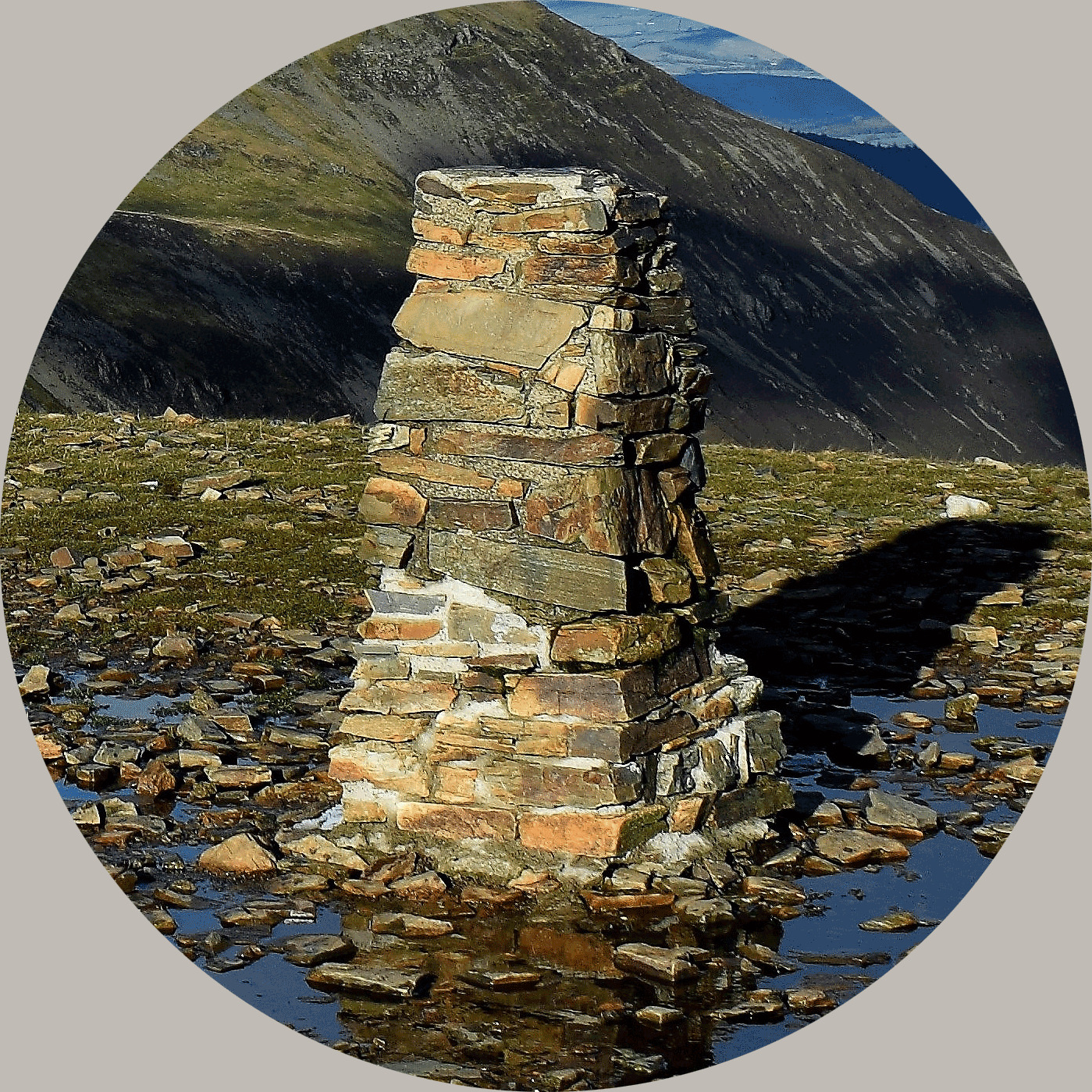
The triangulation pillar, most often known as a "trig pillar" or "trig point" and a welcome sight to many a walker as they reach the peak of their walk.
There were once about 6,500 trig pillars, built by the early surveyors at OS.
The pillar was devised by Brigadier Martin Hotine to provide a solid base for the theodolites used by the survey teams and to improve the accuracy of the readings obtained.
Though the OS no longer uses the trig pillars, maintaining them is still its responsibility; about 6,000 remain.
About Ye Ole Survey Monuments
|
 |
Ye Ole Survey Monument (YOSM) is a captivating series of caches that pays homage to the remarkable legacy of OutForTheHunt's YSM series (GC45CC).
YOSM caches are strategically positioned at or near Trig Points. These triangulation stations have played a pivotal role as surveying landmarks, contributing to the mapping of expansive territories.
Some of these points, bearing historical significance, might now be situated on private land or have vanished with time. As a result, the caches are artfully placed in close proximity, reverently acknowledging the historical importance of these survey monuments.
|
More information, bookmarks and statistics can be found at the YOSM Website
If anybody would like to expand the Ye Ole Survey Monuments Series, please do.
I would ask that you request a number for your cache first at www.yosm.org.uk
so we can keep track of the numbers and names to avoid duplication.