Welcome to Livingston County’s Bicentennial GeoTrail!
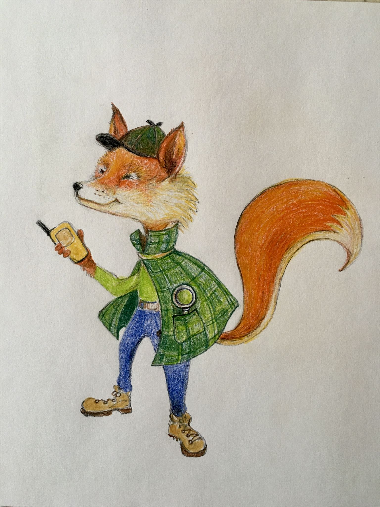
My name is Find R. Fox. I’ll be your guide to super-sleuthing the hides at these amazing, historical locations all around our beautiful 200-year-old county!
To make your travel through history a bit easier, imagine yourself in a Time Machine (your best mode of transportation will do). Set the dial (your gps unit) to the first year (coordinates) listed below, check the waypoints for Parking and push the navigate button! Whirl your way there then switch your coordinates as needed to navigate to the geocache to sniff out the container and sign the log sheet. Good Luck & Enjoy the journey!!
We do NOT have permission to walk or drive on the property being viewed for the START of this cache. Daylight hours only, as you will need to view something at the start.
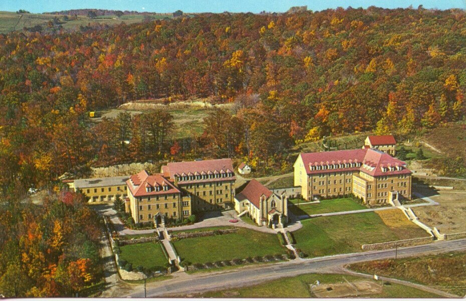
Saint Michael’s Mission, located on Mission Road in the town of Conesus, is indeed off the beaten path.
In the late 1860s, Bernard J. McQuaid, the first bishop of the Catholic Diocese of Rochester, purchased hundreds of acres of farmland overlooking Hemlock Lake. He also planted vineyards in 1872 for sacramental wine and named the winery “Oh-Neh-Da,” after the Indian name for the lake.
But by the 1920s, the diocese determined the farm was no longer viable and sold the land to an order of missionary priests known as the Society of the Divine Word.
The Society began construction of Saint Michael’s Mission in 1936. A convent for nuns, classrooms, dormitories, and athletic fields were added and the vineyards were revived.
The grounds included grottos depicting the Stations of the Cross and beautiful sculptures that attracted scores of people to view the spiritual artistry. One of these was a grotto that was located just south of the Mission along the bank of the buildings. The Grotto was built by Fridolin Iten who was a friar at the Mission.
The picturesque, yellow brick mission standing against the natural background of woods high above the west shore of Hemlock Lake, thrived into the 1960s.
Faced with declining vocations, the Society of the Divine Word sold the buildings in the 1980s, the grottos and statues were relocated outside the area. Currently the property is in private hands.
Around the corner from the old mission, the vineyards and winery are still at their original location and are still in operation - almost 150 years later.
Sources: Livingston County Historian Off the Beaten Path Tour of St. Michael’s Mission; https://www.hemlockandcanadicelakes.com/hcl_documents/hcl_church_conesus_st_michaels_mission_history_2014.pdf
For this multi-cache, we are going to do something different. At the listing coordinates, park your car just off the road. Paying attention to traffic, cross the road and view the 2 grottoes FROM THE ROAD listed as waypoints, and make note of the names.
Now, we will test your powers of observation by using the names of the grottoes, for you will decide the correct final location, supplied below, for the cache. NOTE: the other 5 locations are FAKE. While the parking coordinates are valid as a place to park and the cache listings (real and fake) are all in the Hemlock-Canadice State Forest, there are NO notes, caches, or anything at the FAKE cache locations. So, choose wisely!
A. If Grotto of Faith and Grotto of Mary
Parking at N 42 45.963, W 77 37.799; Final at N 42 46.005, W 77 37.732
B. If Grotto of Agony and Rosary Grotto
Parking at N 42 45.963, W 77 37.799; Final at N 42 45.967, W 77 37.740
C. If Grotto of Faith and Grotto of Agony
Parking at N 42 45.649, W 77 37.797; Final at N 42 45.658, W 77 37.711
D. If Hope Grotto and Grotto of Penitence
Parking at N 42 45.649, W 77 37.797; Final at N 42 45.597, W 77 37.698
E. If Grotto of Penitence and Grotto of Joseph
Parking at N 42 45.471, W 77 37.814; Final at N 42 45.458, W 77 37.684
F. If Grotto of Mary and Charity Grotto
Parking at N 42 45.471, W 77 37.814; Final at N 42 45.413, W 77 37.726
NOTE: There is NOT a checker.
This cache is 1 of 36 caches comprising the Livingston County Bicentennial GeoTrail (LivCo200) placed in the summer of 2021 in honor of Livingston County’s Bicentennial by members of the local geocaching group called the Bee Hive. For more information about Livingston County’s Bicentennial, visit the County Historian’s Bicentennial web page on the Livingston County New York website at https://www.livingstoncounty.us/1115/County-Bicentennial
