This is one of a series of EarthCaches placed at sites within the Westmorland Dales area which the Cumbria GeoConservation group considers as being good examples of various aspects of the local geology. Our local geological research has been made possible by the Westmorland Dales Landscape Partnership Scheme, jointly led by the Friends of the Lake District and the Yorkshire Dales National Park Authority and has been grant funded by the National Lottery Heritage Fund.
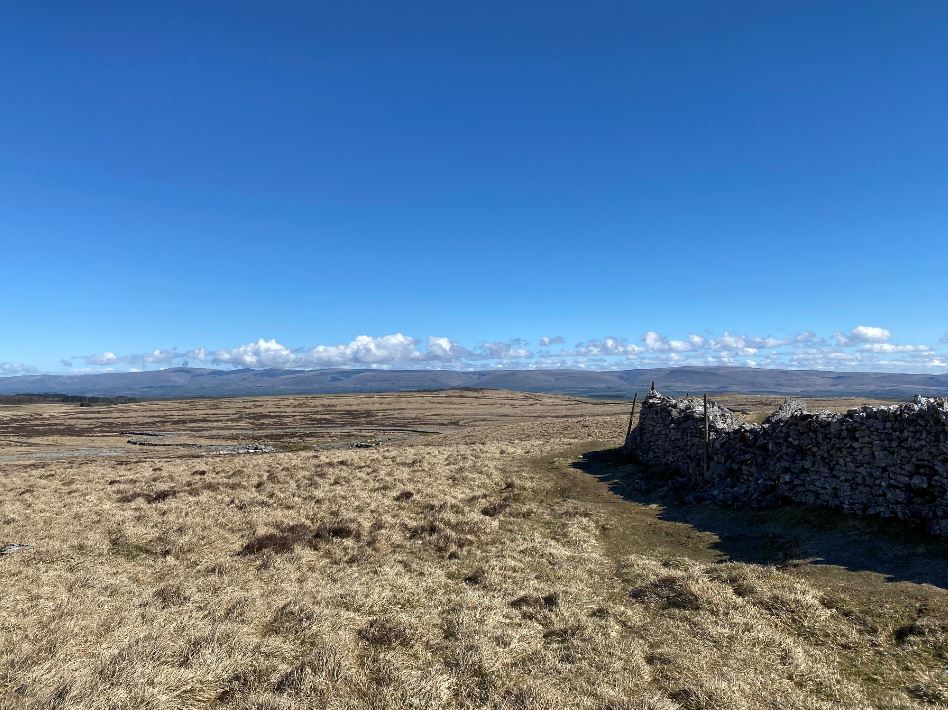
This large boulder, the so-called Thunderstone, is incorporated into the wall that separates the parishes of Orton and Kirkby Ravensworth, and is marked on local OS maps. Please do not try to cross the wall here. We are assuming you will approach the boulder from the west. If you find yourself to the east of the wall, there is a gate about 250 metres to the south of the stone, which will enable you to get to the correct side.
Thunderstones were named because, in bygone days, they were thought to have been dropped by the gods during a thunderstorm. That explained the crash of the thunder and the presence of a large rock, very different from the rocks of the surrounding countryside and sitting on top of the ground. We now know that rocks like this were actually picked up and carried by glaciers that covered the area from about 27 thousand years ago, and were left behind when the ice melted about 11 thousand years ago.
The countryside around here is underlain by limestone, pieces of which have been used to build the wall around the Thunderstone. You will probably have seen some limestone pavements in this area, fairly flat areas of limestone with gently curving top surfaces, that have been worn smooth by natural forces. Unfortunately, many of the pavement areas you may have passed while walking to this cache have been damaged. The damage was probably caused from Victorian times onwards, by removal of the top layers of limestone for decorative use in walls and gardens. Since 1981, Limestone Pavement Orders have made such removal a criminal offence.
This Thunderstone, like the majority of similar boulders in the Westmorland Dales area, is made of Shap Granite. The area where the granite appears at the surface, and where there is now a large quarry, lies about 8 km to the west of here. Shap granite is a very distinctive rock, characterised by large pink feldspar crystals set in a matrix of smaller crystals of grey glassy quartz and white feldspar, with speckles of black biotite. This boulder has been weathered, probably before it was picked up by the ice, as well as during its transport, and in the 11 thousand or so years that it has been lying here, so the details of its crystal structure are not easy to see.
Over time, lichens have colonised the surface of the limestone pieces in the wall and of the Thunderstone, forming patches of different colours. Lichens are composite organisms made of algal or cyanobacteria cells, living with threads of fungi. Lichens use the process of photosynthesis to survive and grow (similar to the process used by green vegetation, like the grass all around) and they absorb essential minerals by very slowly breaking down the rock on which they are living. Because the limestone and the granite release different minerals when they are broken down, there are significant differences in the lichens that grow on each. There is one very distinctive bright green lichen, called ‘map lichen’ (Rhizocarpon geographicum) that is very particular about its host rock.
Questions:
To claim this EarthCache, please send your answers in a message, either by e-mail or through the Message Centre. Do not put them in your log. You do not have to wait for a reply before logging; if there is a problem with your answers we will let you know. Pictures of your visit are very welcome in your log, but please avoid giving away any of the answers.
1. Based on the size of the thunderstone, explain whether you think that it could have been transported here by rushing water, rather than by ice.
2. Describe the general appearance of the surface of the thunderstone. Look especially at the small vertical area on its south east side and state which of the four crystal types you can see there. Give the colour and the approximate size and shape of the largest crystal that you can see.
3. Based on your observations of the pieces of limestone in the wall, explain whether they are more likely to have come from a small local limestone quarry or from the top layer of the limestone pavement nearby.
4. Which rock type does the ‘map lichen’ prefer and how many patches of the lichen can you on or within about 1 m of the thunderstone?