Cleavage!
What is it?
In structural geology, foliation describes a type of planar rock feature that develops as a result of deformation and metamorphism.
Cleavage is a tectonic foliation, meaning it is a sub-planar, often parallel, preferred fabric that develops in low-grade rocks. A fabric is any geometrical arrangement of features in the rock. As a tectonic foliation, cleavage occurs as a response to tectonic activity. However, it forms without the loss of cohesion and is not a fracture. Cleavage is often used to indicate the long axis of the strain ellipse, as it forms perpendicular to the maximum shortening direction.
Types of cleavage
Cleavage can be of various types, and you can see the various types here and here. These are not addressed here so that no confusion arises when looking at the outcrop in question. Note that the distinction of the different types of cleavage is possible with years of experience.
How is it formed?
The development of cleavage foliation involves a combination of various mechanisms dependent on the rocks composition, tectonic processes, and metamorphic conditions. The magnitude and orientation of stress coupled with pressure and temperature conditions determine how a mineral is deformed. Cleavages form approximately parallel to the X-Y plane of tectonic strain and are categorized based on the type of strain. The mechanisms currently believed to control cleavage formation are rotation of mineral grains, solution transfer, dynamic recrystallization, and static recrystallization.
Cleavage can occur at both the strata and mineral scales. This cache examines the cleavage formed at the strata scale, i.e., macro scale.
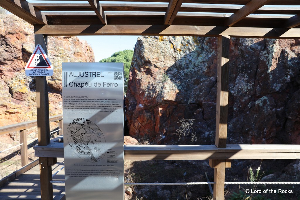
Geological setting:
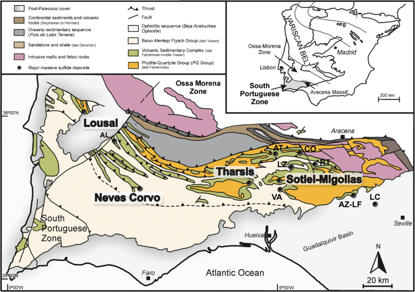
The Iberian Pyrite Belt (FPI) constitutes the main fraction of the southern Portuguese zone, of the Iberian segment of the Variscan Belt. It is located near the contact between the area of Ossa-Morena and the South-Portuguese zone, in a geographical area of about 300 km in length, from the deposit of polymetallic sulphides in Lagoa Salgada until near Seville and 30-60 Km wide.
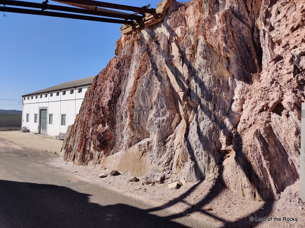
In Aljustrel, adjacent the stockwork cap that outcrops in the vicinity of the Vipasca Shaft, we find the Tufo da Mina Unit. This unit is banded (see below) and it is here that we can find an excellent example of cleavage for you to learn more about this geological feature.
Registering this cache
At the coordinates look at the banded outcrop that has bands of reddish and white coloured bands and answer the following questions:
- How thick are the bands in the outcrop?
- Look closely. Do the red and white bands alternate? Or do you have thick white bands followed by thick red bands and vice versa?
- From the cache page, and taking the present position as final, from which cardinal points was the maximum stress orientated?

Foliação
O que é?
Qualquer estrutura planar de uma rocha metamórfica que pode ser originada durante os processos de metamorfismo. Esta disposição resulta quer de um alinhamento preferencial de certos minerais anteriores ao metamorfismo, quer da orientação de novos minerais formados durante os processos de recristalização.
As diferentes pressões têm uma influência predominante na textura das rochas metamórficas, porque forçam os constituintes das rochas a ficarem paralelos uns aos outros.
O seu desenvolvimento
A foliação desenvolve-se na direção perpendicular à direção de pressão. As diferentes texturas, resultantes do efeito da pressão, originam variações da foliação e são importantes na classificação das rochas. Assim, existem três tipos de foliação muito característicos em rochas de baixo, médio e alto grau de metamorfismo, a clivagem xistenta, a xistosidade e o bandado gnaissico ou gnaissosidade.
A clivagem xistenta é uma estrutura planar característica de rochas com baixo grau de metamorfismo. Este tipo de foliação é definido pela orientação preferencial de minerais, em rochas de granulidade fina. Os planos de clivagem resultam de um arranjo paralelo de minerais tabulares. A orientação preferencial dos minerais resulta de tensões orientadas de origem tectónica.
Enquadramento geológico
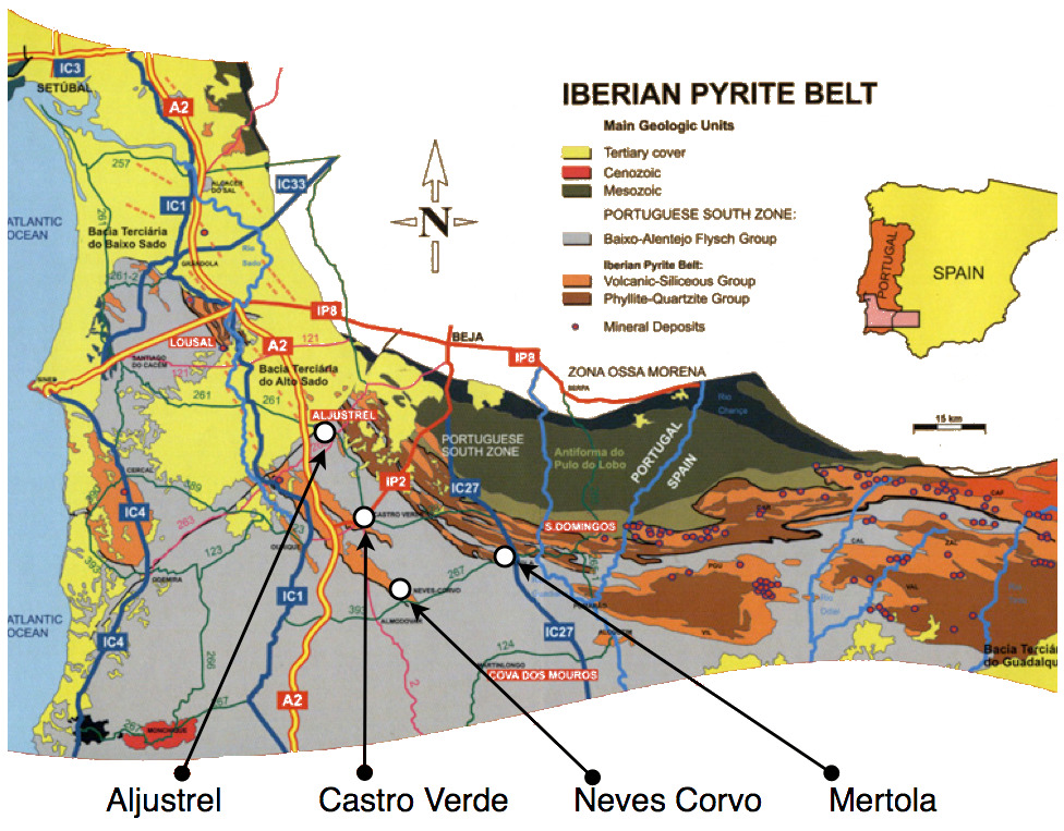
A Faixa Piritosa Ibérica (FPI) constitui a principal fracção da zona Sul Portuguesa, do segmento ibérico da cintura Varisca. Localiza-se perto do contacto entre a zona de Ossa-Morena e a zona Sul-Portuguesa, numa área geográfica com cerca de 300 Km de comprimento, desde o jazigo de sulfuretos polimetálicos de Lagoa Salgada até próximo de Sevilha e 30 a 60 Km de largura.
Em Aljustrel, uma desta unidades da FPI é o Tufo da Mina. Este unidade bandada é o local da lição desta EarthCache.
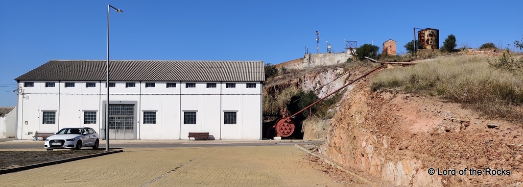
Para registares esta EC:
Desloca-te ao local e identifica o Tufo da Mina; rocha com bandas encarnadas e brancas. Aqui responde às seguinte sperguntas:
- Qual a espessura das bandas no afloramento?
- Observa com atenção! As faixas vermelhas e brancas alternam? Ou tens faixas brancas grossas seguidas por faixas vermelhas grossas ou vice-versa?
- Na página de cache, e tomando a posição actual como final, de quais são os pontos cardeais de onde a compressão máxima foi aplicada?

 The most exciting way to learn about the Earth and its processes is to get into the outdoors and experience it first-hand. Visiting an Earthcache is a great outdoor activity the whole family can enjoy. An Earthcache is a special place that people can visit to learn about a unique geoscience feature or aspect of our Earth. Earthcaches include a set of educational notes and the details about where to find the location (latitude and longitude). Visitors to Earthcaches can see how our planet has been shaped by geological processes, how we manage the resources and how scientists gather evidence to learn about the Earth. To find out more click HERE.