Key Feature:
SHALE is a sedimentary rock formed in shallow waters. It typically forms in environments where mud, silt and other sediments are deposited by slow-flowing waters, and over time become compacted under high pressure and heat. Shale has a distinct property called fissility as it splits into thin layers. This property sets it apart from siltstones and mudstones.
Tidbinbilla shale was formed in shallow seas and is mostly fine-grained mud that is a mix of flakes of clay minerals and tiny fragments of other minerals.
Background:
We acknowledge the Ngunnawal people as traditional custodians of the Tidbinbilla region and the Namadgi National Park more broadly. There is evidence that they occupied this area over tens of thousands of years with one of the rock shelters in the valley dating back as far as the last ice age. The name 'Tidbinbilla' comes from the Ngunnawal word 'Jedbinbilla' which means 'where boys become men'.
The area has a European history dating back to the 1830s when settlers moved into the area and cleared the valleys for farming. The mountains and ridges remained forested.
Geology:
The rocks in the Tidbinbilla Nature Reserve are from three distinct geological periods of the Palaeozoic Era.
- The first group, and oldest rocks are from the Ordovician Period and are on the higher parts of the Tidbinbilla Range. These are in the north-west corner along the upper Camelback Fire Trail and on Camels Hump. They are 445-470 million years old consisting of sedimentary rocks such as siltstone, sandstone and shale.
- The second group is from the Early Silurian Period and relate to the shales of this Earthcache. These rocks are also only on the higher parts of the Tidbinbilla Range known as Tidbinbilla Quartzite and are 427-443 million years old. They consist of very hard, fine-grained siltstone, breccia (angular rock fragments) and shale. An abundance of shale can be seen at both virtual stages listed.
Shale is typically grey in colour and composed of clay minerals and quartz grains. Red, brown and green colours are indicative of ferric oxide (hematite - reds), iron hydroxide (goethite - browns and limonite - yellow) or micaceous minerals (chlorite, biotite and illite - greens). The Tidbinbilla Shale beds have a variation of these colours at both virtual stages listed.
- The third group is from the Late Silurian Period. Magma intruded into the older sediments creating upward pressure and movement. They are about 413 million years old. With extensive weathering the granite is now exposed all over the Tidbinbilla ranges and valley floor. This can be seen at Gibraltar Rocks, Gibraltar Falls (EarthCache GC9VFCG ) and Hanging Rock.
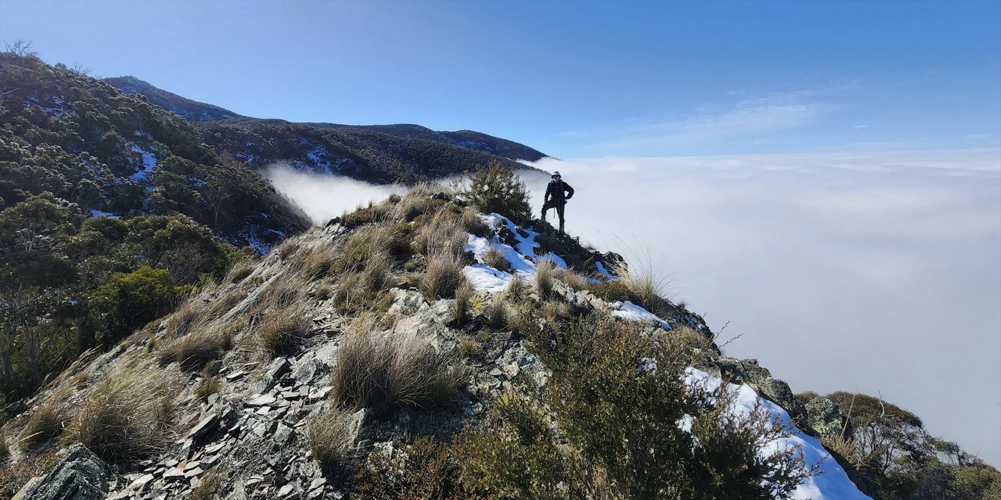
Shale Knoll: with Tidbinbilla and Canberra in the background - on this occasion the view was masked by clouds.
Photograph taken: June 2022.
Access:
There are fees and open times if you decide to hike the most direct way to this EarthCache via the Tidbinbilla Nature Reserve. The park is open every day from 7:30am to 6:00pm (non-daylight savings time) except Christmas Day.
This EarthCache is located on defined trails however they may be partially covered in knee-deep snow and/or ice during the colder months or be overgrown during the warmer months. Ensure that you have the required navigation skills to undertake this hike. Wear sturdy hiking boots and gaiters, bring plenty of food and water, be prepared for cold weather any time of the year, bring emergency gear like lights, phone/PLB and a first-aid kit.
Logging Requirements:
To log this cache you will need to address 5 points (4 questions and 1 mandatory photo). Please send your answers via 'Message Center' as the preferred option. If there are issues with your answers or photo, you will be notified.
Questions / Photos:
Stage 1: Tidbinbilla Ridge Saddle:
Stand in the centre of the shale bed at Virtual Stage 01.
1. Describe what you see here that identifies this rock as shale as distinct from mudstone or siltstones; include the geological term used to define the special property?
2. In what geologic period was the shale that you are standing on formed? From your observations, and using the information provided, briefly describe the impact that the subsequent geological period had on this shale.
3. There has been significant upward pressure and movement on the rocks at this location. Look around and list at least three pieces of evidence that you can observe to confirm this activity. Include the orientation and elevation (height) of the shale beds no more than 3m out from where you are standing. (Coordinates at this location may vary on the day but this should not affect your answer.)
(Optional) Walk west about 10-15m towards the ridge edge. Consider posting a photo, facing westward, to include the mountains and Ginini Falls in the background. On a clear day the falls are visible flowing long and wide. Mounts Franklin and Aggie in the distance are also surrounded by shale outcrops from the same geological period.
Stage 2: Shale Knoll:
Stand on the shale outcrop at Virtual Stage 02.
4. Do you see any differences between the shale at the top of the knoll (Stage 02) and the shale at the saddle (Stage 01)? Think about the kinds of minerals that impact colour variations, and the shapes and sizes of the shale pieces. Why do you think that (there are) OR (are not) any differences over such a short distance?
5. Post a photo of yourself, or something that identifies you when standing high up on the knoll. Ensure that there is shale visible in the foreground with the Tidbinbilla/Canberra view in the background (or the clouds below). See sample photo in the description above. Your photo/s will inspire other Cachers to enjoy and witness this richly diverse geological location.