When you get the posted coordinates you are going to wonder why the cache is not on the Summit. Clearly the summit is the waypoint over at the old Hawk Roost pole, but check your map data. No official source thinks its there. According to the USA Topo and OpenStreet data the waypoint up the hill along the fence is the peak. World Topo thinks the summit is the waypoint about 40 feet away from the fence. The bench over by the pole would be a good landmark for the summit but it isn't. Maps.google.com thinks it way over to the right and way down hill from the pole. So the posted ccordinates are just a good compromise and a great place to start exploring all the potential Mott Peaks. If you want to explore all the possible summits after you sign the log, check out this cache's waypoint list.
We've been coming up here for years. The pole is a favorite resting spot during a hike or a run. It was our destination during annual cubscout/boyscout howl at the moon hikes. So it should be no surprise when we wanted to log it as our favorite spot for GC9FAVE: log
The old cache near the pole (GCC62D) was hidden in 2003 but went missing alot because it was hidden on the barb wire fence which is temporary and is used to control the cattle grazing. It was recently archived.
There's restrooms and water at the trailhead. In the summer it can get really hot so load up with water. Note, it's at least a 1.5 mile hike from the provided trailhead; so prepare for a 3 mile hike. Enjoy the view.
Some photos:
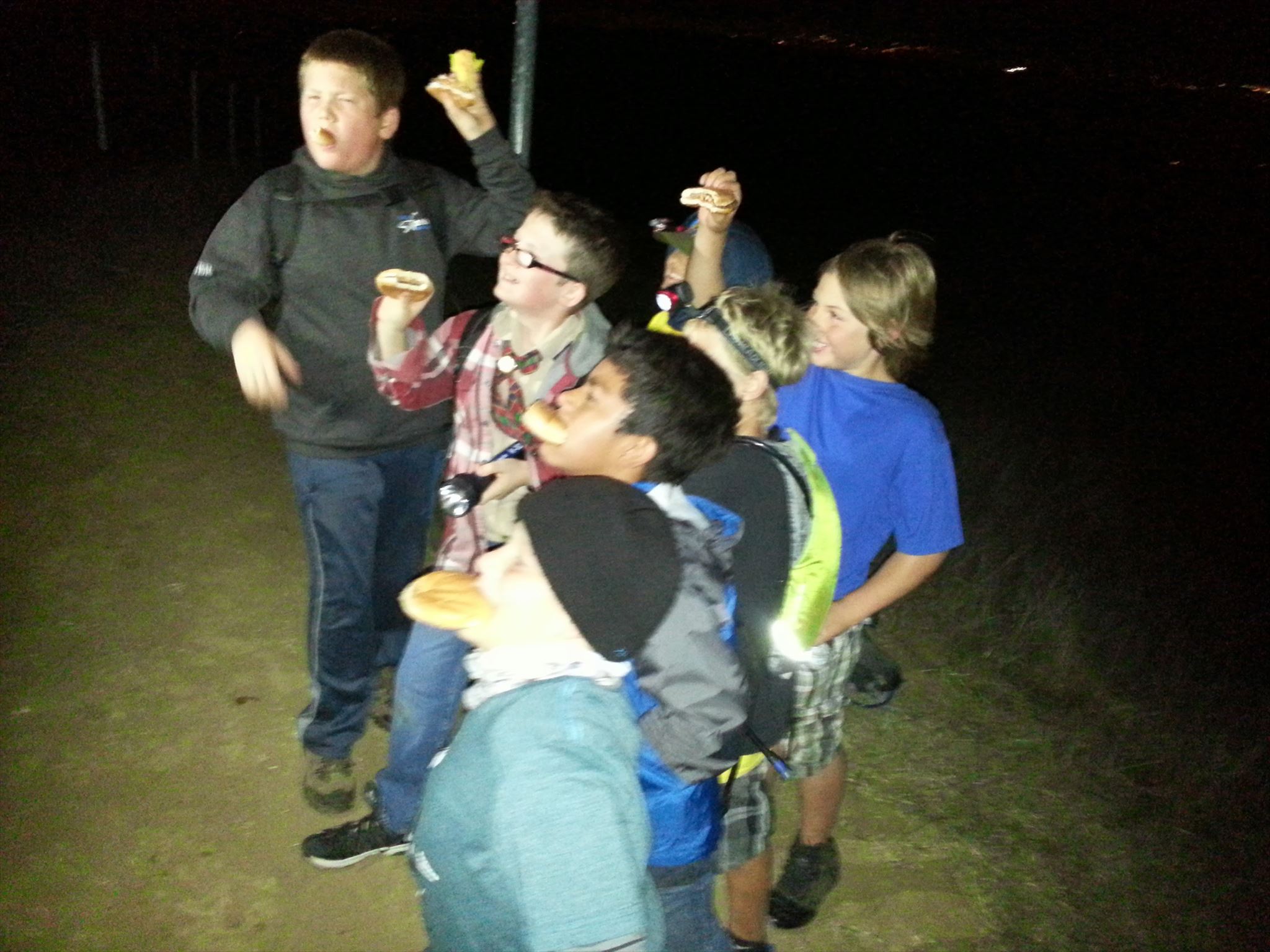
Cubscouts on the summit in 2015 |
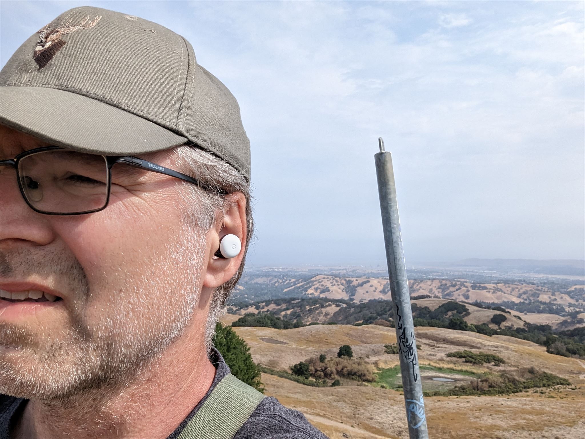
Logging GC9FAVE |
The container is small but has some trade items and a bison tube as a FTF prize. Good luck.