WMT #8: Airedale Overview

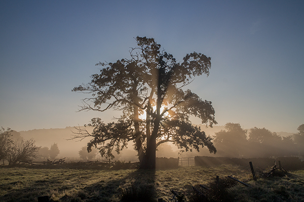
The 8th cache of the series, a small camo-taped, screw-capped pot, is hidden along the trail as it contours across the grassy farmland fields with fine panoramic views to the south of Airedale and Keighley.
Airedale is the valley or dale of the River Aire which stretches for 148km (92 miles) from its origin at Aire Head Springs near Malham Tarn in the Yorkshire Dales, down past Skipton, Keighley, Bingley and Shipley, and on through Leeds and Castleford to join the River Ouse at Airmyn near Goole. Its drainage basin is just over 1,000 sq.km. It is tidal for its last 26km before Goole. See here for more interesting facts about the river and here for an entertaining photo-blog on cycling down the Aire from Malham to Shipley.

It is of great topographic significance as it provides three low-altitude passes through the mid-Pennines to the west coast known as the Aire Gap. These are a) Airedale to Ribblesdale 144m near Barnoldswick b) Airedale to Pendle Water 165m near Colne and c) Airedale to Lonsdale 166m near Settle.
The upper Aire valley was formed 12,000 years ago by a retreating glacier. A moraine formed in the Cononley area and the lake stretched as far north as Gargrave. Colonisation by man developed later on, especially during the Iron Age. The peoples that occupied the Aire Valley (and much of northeastern England) were called Brigantes by the Romans.

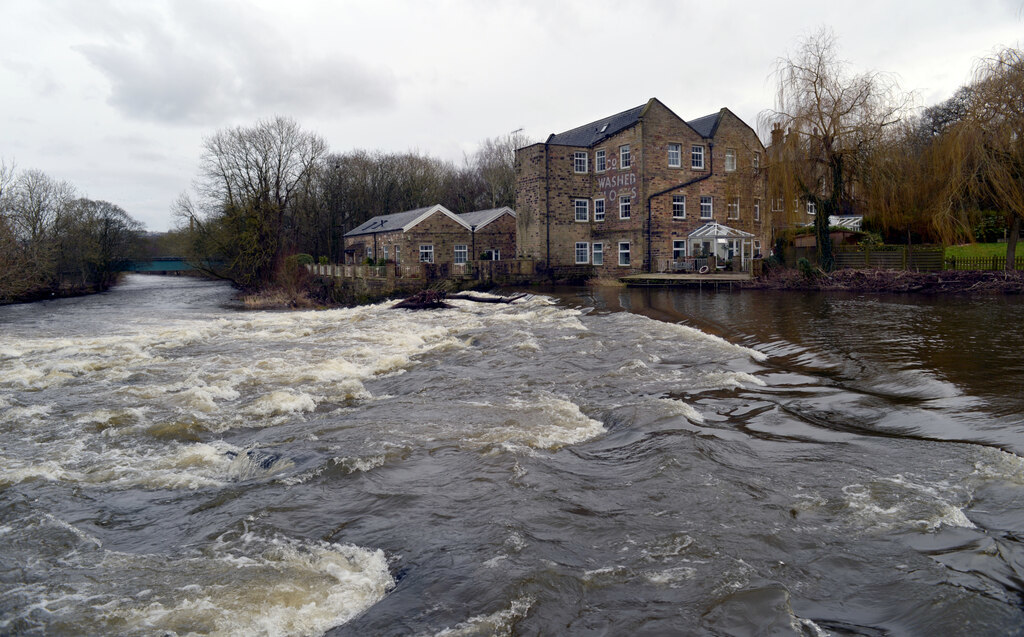
Transport improved in the C18 and C19 with the building of the Aire and Calder Navigation (the canalised part of the river below Leeds) and the Leeds and Liverpool Canal. The railways arrived from the 1830s onwards and during the C20 the valley roads were vastly improved.
It was formerly wholly within the West Riding of Yorkshire, but after the boundary changes of 1974, it starts off in what is now North Yorkshire, passes through West Yorkshire and ends in the East Riding of Yorkshire.
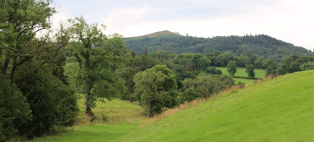
The upper valley is characterised by the beautiful landscape of the Yorkshire Dales (Malhamdale is just inside the Yorkshire Dales National Park). The part of the dale from Skipton to Knottingley is heavily industrialised and continues as such despite many mill closures. The East Yorkshire section is flatter and more agricultural than the upper sections. From Aire Springs as far as Leeds the river is essentially swift flowing and fed by streams and becks. Thereafter, the flow takes a meandering course through a broad floodplain.
The broad definition of Airedale, is one that covers all the immediate areas adjacent to the River Aire and its tributaries. The Aire Catchment Flood Management Plan (CFMP), which takes into account all the becks and streams that feed the river, lists the Worth Valley and most of Bradford City as part of Airedale. The Bradford Council's Airedale Partnership's Masterplan shows the same boundaries.
Geology: the upper section between Malham and Skipton is largely upfaulted Carboniferous limestone. The middle section between Skipton and Knottingley is peat and gritstone, with steep valley walls crested with moorland prevalent between Skipton and Shipley. The sandstone deposits between Skipton and Leeds have characterised the buildings within this part of Airedale, whilst the deposits of limestone, coal, fireclay and ironstone fuelled industrial developments.
Tourism: Airedale is notable for several tourist sites and the World Heritage Site of Saltaire village. Other attractions include The Keighley and Worth Valley Railway, Bingley Five Rise Locks, The Shipley Glen Tramway, East Riddlesden Hall, Rodley Nature Reserve, Kirkstall Abbey, The Royal Armouries (Leeds), St Aidan's Nature Reserve and Fairburn Ings Nature Reserve.
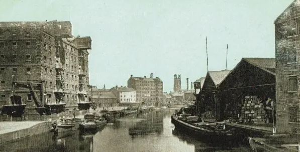
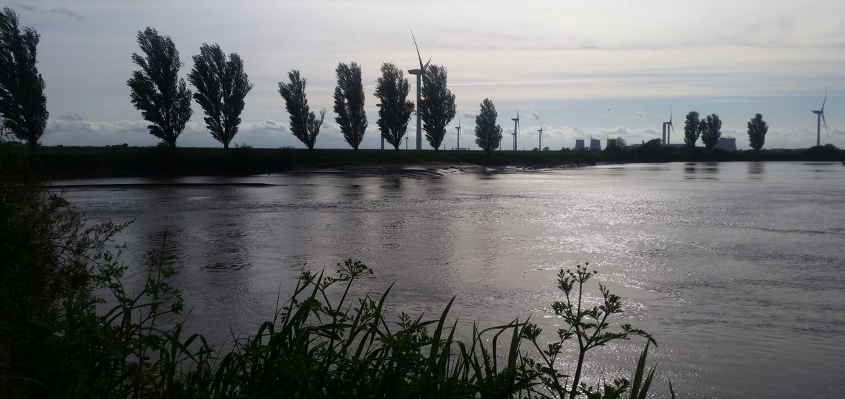
Industry: many of the former woollen and cotton mills of the dale have been demolished or converted into housing. The heavy industry east of Leeds still exists and two of the three coal-fired power stations in the lower section take their water from the River Aire. Industry situated alongside the Aire includes Ferrybridge, Eggborough and Drax power stations, Eggborough Saint Gobain glassworks, Stolze and Allied Glass in Knottingley and Kellingley Colliery.
Leeds City Council have an enterprise zone covering 400 acres of regenerated land along the Aire Valley from the city centre up to M1 junction 45 (known as Gateway 45). This houses several manufacturing and food companies.
The area gives its name to the Airedale Terrier, the largest of the terrier group of dogs. They were first bred in the area in the C19.