[DEU] Vor zehn Jahren, am 22. Dezember 2013, fanden wir unseren ersten Cache.
Zeit, auf das vergangene Jahrzehnt zurückzublicken.
Ich habe einfache Fragen vorbereitet, die die vielen Höhepunkte widerspiegeln, die wir während unserer Geocaching-Abenteuer in Südtirol erlebt haben.
Klicken Sie auf jeden lila Link, um die Antwort auf die Frage zu finden!
[ITA] Dieci anni fa, il 22 dicembre '13, trovammo il nostro primo nascondiglio.
È tempo di guardare indietro agli ultimi dieci anni.
Ho preparato semplici domande che riflettono i tanti momenti salienti che abbiamo avuto durante le nostre avventure di geocaching in Alto Adige.
Clicca su ciascun collegamento viola per trovare la risposta alla domanda!
[ENG] Ten years ago, on the 22nd of December '13, we found our first cache.
Time to look back on the past decade.
I have prepared easy questions that reflect to the many highlights we had during our geocaching adventures in the South of Tyrol.
Click on each purple link to find the answer on the question!
The trail (Geo-Art) “Team Thoja: 10 years of geocaching”:
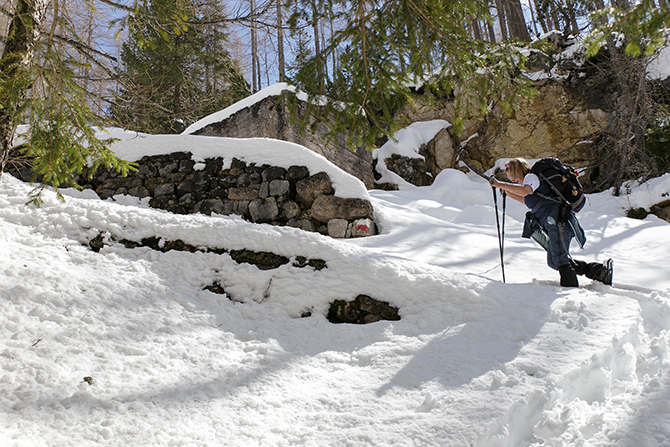
[DEU] Der Trail startet bei der Sportzone Pfalzen.
Die Route ist rund um das Biotop Kramoos und über kleinere Wanderwege im Wald angelegt.
Es gibt keinen Bonus-Cache, also keine Berechnungen unterwegs. Für jeden Cache ist kein Tool erforderlich.
Cache Nummer 8 ist auf eigene Gefahr (Baumklettern)!
Zwischen Parkplatz und Cache 1 wurde ein Referenzpunkt hinzugefügt (siehe Auflistung Cache 1).
Zwischen Cache 15 und Cache 16 wurden drei Referenzpunkte hinzugefügt (siehe Auflistung von Cache 15).
Spoilerfotos über den Geochecker.
Die Gesamtstrecke der Strecke beträgt ca. 8 km mit 2 Steigungen entlang der Strecke (48 Höhenmeter und 166 Höhenmeter).
[ITA] Il percorso inizia presso la Sportzone Falzes.
Il percorso è tracciato attorno al biotopo Kramoos e attraverso piccoli sentieri escursionistici nei boschi.
Non c'è cache bonus, quindi nessun calcolo lungo il percorso. Non è richiesto alcuno strumento per alcuna cache.
La cache numero 8 è a proprio rischio (arrampicata sugli alberi)!
È stato aggiunto un punto di riferimento tra il parcheggio e la cache 1 (vedi elenco cache 1).
Sono stati aggiunti tre punti di riferimento tra la cache 15 e la cache 16 (vedi elenco cache 15).
Foto spoiler tramite il geo-checker.
La distanza totale del percorso è di circa 8 km con 2 pendenze lungo il percorso (48 metri di dislivello e 166 metri di dislivello).
[ENG] The trail starts at the Sportzone Pfalzen.
The route is mapped out around the Kramoos Biotope and via smaller hiking trails in the woods.
There is no bonus cache, so no calculations along the way. No tool is required for any cache.
Cache number 8 is at own risk (tree climbing)!
A reference point has been added between the parking lot and cache 1 (see listing cache 1).
Three reference points have been added between cache 15 and cache 16 (see listing cache 15).
Spoiler photos via the geo-checker.
The total distance of the route is approximately 8 km with 2 slopes along the way (48 elevation meters and 166 elevation meters).
15) Frage / Domanda / Question
Was musste unbedingt getragen werden (1 Wort)? / Cosa era assolutamente necessario indossare (1 parola)? / What was absolutely necessary to wear (1 word)?