When the going gets rough, the rough go Geocaching- to Cedar Roughs. This BLM area isn't called Cedar Roughs for nothing. It will be a real wilderness experience. Bring the older kids and the dogs, but take the precaution of using deet for the ticks, carrying hiking sticks, and wearing long pants and hiking boots. Bring plenty of water and watch out for Rattlesnakes and Mountain Lions; I have seen both there. Although it is only a little over a mile from the road, this will be at least a half day hunt.
The access to this BLM area is located off Pope Canyon Road 2.2 miles west of Pope Creek Bridge, Lake Berryessa, or 6.3 miles east of Pope Valley airstrip. Park at N38° 37.561 W122° 19.500, and follow Pope Creek upstream approximately 1/4 mile. Take off your boots and cross Pope Creek at N38° 37.614 W122° 19.619, and climb the hill a short distance to an abandoned jeep trail. The old jeep trail provides access into main block of public land. The jeep trail turns at N38° 37.629 W122° 19.816, and heads up the mountain. Stick to the jeep trail until you reach the McToys geocache, N38° 37.311 W122° 19.830.
From the McToys geocache, you should find the Orange Parrot Waypoint: N38° 37.247 W122° 19.737. The parrot points the way to the (glorified game) trail. If you find yourself bushwhacking through the chaparral, you have lost the trail.
It is very important to bring enough drinking water. A year-round spring runs just behind the stove, watch out for poison oak if you go down there to get water. I have drunk from the spring with no ill effects, but there is a water purification kit inside the old wood stove.The stove waypoint is at N38° 37.053 W122° 19.428. At this waypoint you are less than 100 feet from the cache, but you have to go downhill, cross the water and go around the hill, uphill to Cabin 11.
 Cabin 11 was squished by an oak tree. The cache is in an ammo box behind the cabin remains.
This is an outdoor themed cache, and it is well stocked, so please trade something.
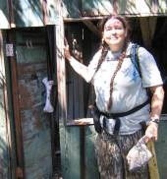
Enjoy the cache, and I hope you will post some pictures- Huntnlady