The original site of Castle Rock, about one-half mile east of the Douglas County Fairgrounds today, was a meadowland along East Plum Creek; it was a favorite camping ground for bullwhackers, hunters, and travelers as they plied their way between the forts and later the settlements of Denver and Colorado City. In the 1860's, this site became a part of Jeremiah Gould's 160-acre homestead tract; a cabin was built there in 1869 by a man named "Wolf" who was to sell it later to Mr. Hall. The cabin was to acquire the name of Uncle Jimmy Gould's or Uncle Jerry's Claim Cabin. In 1871, when the Denver and Rio Grande Railroad forged cross the county, the site of Uncle Jimmy's Claim cabin did not interest the railroad builders; instead they concentrated on the towns of Citadel-New Memphis to the north and Douglas to the south.
On February 2nd, 1874, a bill was passed by the territorial Legislature dividing Douglas County which heretofore had extended from the South Platte River to the State of Kansas; Elbert County was created from the eastern half of this huge expanse of land. This division necessitated the selection of a new county seat. Among the towns desirous of this honor were Sedalia, Castle Rock, New Memphis, Douglas, Glade, and Frankstown (Franktown), the current county seat.
The election for the coveted designation was held in Frankstown on March 31st--Castle Rock received 315 votes out of the 587 votes cast; Sedalia received 164; Glade, 63, New Memphis 30; Frankstown, 16; and Douglas, 9. The Rocky Mountain News championed the decision.
The second courthouse was built in 1889-1890. The first having been moved from Frankstown and is still there near the current courthouse.
There are two attached pictures. The oldest one is from when the courthouse was under construction. The geocache coordinates are for parking. Use the recent photo to position yourself at the location from which the photo was taken. The cache is within ten feet of that location.
Finding the cache: Park at posted coordinates. Take the trail at the east end of the parking lot and go to the Y in the trail and take Summit Trail. If you go to the summit, you blew it. No log for you. After a few minutes of walking you should see a large rock outcrop about 0.4 miles up the trail and to the right of the trail. That is the rock you are looking for. When you get to the sharp loopback, you blew it again so backtrack. If you get back to the car without finding the rock, you really blew it. No log for you. Assuming you find the rock, it would be nice to take and post a photo. This is not required. Signing the log is. Ah, the log. Standing where the photographer is standing, look to the right. The log is there. Check the listing for a photo of the location. The container is on the rock, the person is sitting on in the picture. Look on the right side for a small crevice. The container is located there. Sign the log, put the lid back on, put the rocks back to make it critter proof. You may now go back to your car. Thanks for visiting. Oh, yeah, don't forget to log the geocache.
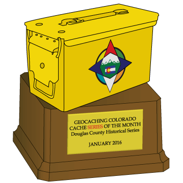
Thanks Geocaching Colorado for the Geocache of the Month Award, as the second series to win!