The trail is blazed with plastic yellow squares. When you get to
about 250 feet from the cache you have two choices. Option one is
to leave the trail early, and bushwack up, up, up the rocky slope
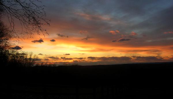
to the cache. Option two is to continue along the trail as it
brings you out to the edge of the field. The trail will turn right.
You can continue straight along the edge of the field and then onto
an access road up to the cache. I would suggest option two. The
view from the ridgeline is quite nice. (Especially at sunset!)
While the area is not marked with blazes, it is still public
property. The field is not.
This walk is quite a workout because the parking area is at
about 600ft above sea level and the cache is located at about
800ft. above sea level. The total length from the parking area to
the cache is under 2/10ths of a mile. You do the geometry! ?
P.S. There is a benchmark nearby the cache. It’s an easy find if
you know where and what to look for.