Please read all of the information before starting out. The cache is not at the crash site.
The above coordinates are correct for the cache.
On February 26, 1944 a B-17, flying round-robin training missions from a US Army Air force base in Clovis, NM to Denver, something went wrong quite quickly because no SOS was sent.
CAP data: 39 13N 105 05W 26-FEB-45 B-17 high on west side of valley 10 miles west of Larkspur. 30 to 35 miles NW of COS. 10 passengers, fatal burned. Found May 22, 1945.
Do not use this information to find the crash site - the coordinates are incorrect.
Information is available from the Douglas County News-Press and from TV DC8. These are also incorrect.
Casualties:
2nd Lt. Joseph J. Beeson Jr. of Washington DC
2nd Lt. Harry B. Davis of Philadelphia, PA
2nd Lt. Harry L. Barry of Columbus, OH
2nd Lt. Jack T. Laird of Klamath Falls, ORE
FO Fred Gentry of Decatur, ILL
Cpl. Ralph C. Judah of Iola, KS
Cpl. James F. Perry of Charlotte, N.C.
Cpl. Joseph J. Fendrick of Queens, NY
Cpl. Glenn L. Stutsman of Washington, IO
Cpl. James R. Young of Port Arthur,TX
The intent of this geocache was to place a cache on a hill overlooking the crash site. We probably did that.
Best route : Rampart Range Rd to Forest Rd 327.
Parking coordinates that we used: 39 10.903, -104 59.130.
Going to the cache is easy but returning to the car is uphill - all of the way.
Inside the log book are the coordinates of the crash site. Don't go there - they are wrong.
We thought that they were correct when the cache was placed but we then went to the crash site and did not find any wreckage.
We will update those coordinates when we have better information.
Should you undertake going to the crash site area based on our information or information that you got elsewhere, the terrain is 4.5, believe us.
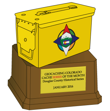
Thanks Geocaching Colorado for the Geocache of the Month Award, as the second series to win!