This geocache is one of twenty Community Lands GeoPassport geocaches within the South Nation Jurisdiction. For more information on this series of geocaches, please visit South_Nation.
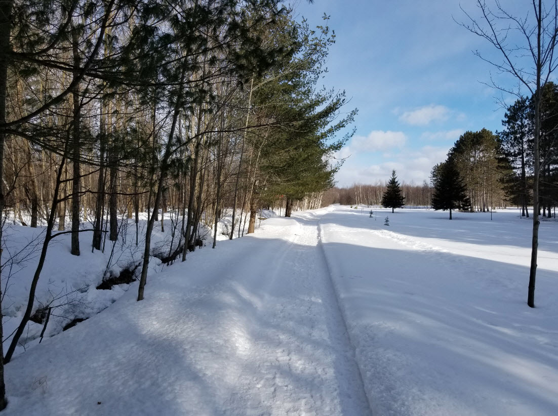
Park on the shoulder of the road, and proceed north along the road allowance trail. Eventually you will have a chance to either cut through the hummocky forest towards the old railway bed the cache is placed upon, or you can continue to travel north to where the railway bed intersects the allowance. Alternatively, you can start out at the railway bed and Du Golf- but this area is prone to flooding. Either way, once at the geocache you will have a great view of a wetland.
Prior to settlement, the First Nations people had minimal impact on the forested land. Post-European settlement drastically disrupted the landscape with incentives to clear the land and send timber off to Europe for ship building. By the late 19th Century, Eastern Ontario experienced severe flooding, droughts and erosion due to a declining forest cover, an attribute closely linked to ecosystem health. Forest cover was below 30% in 32 townships in the region, and in some, less than 10%. Severe deforestation, poor land management practices and flooding, led to the creation of Conservation Authorities in Ontario. With support of government agencies, the Ministry of Natural Resources and Forestry and Conservation Authorities began land restoration activities through intensive replanting efforts to increase local forest cover.